Transport Functions
Port
Road
Multimodal
Hub Profile
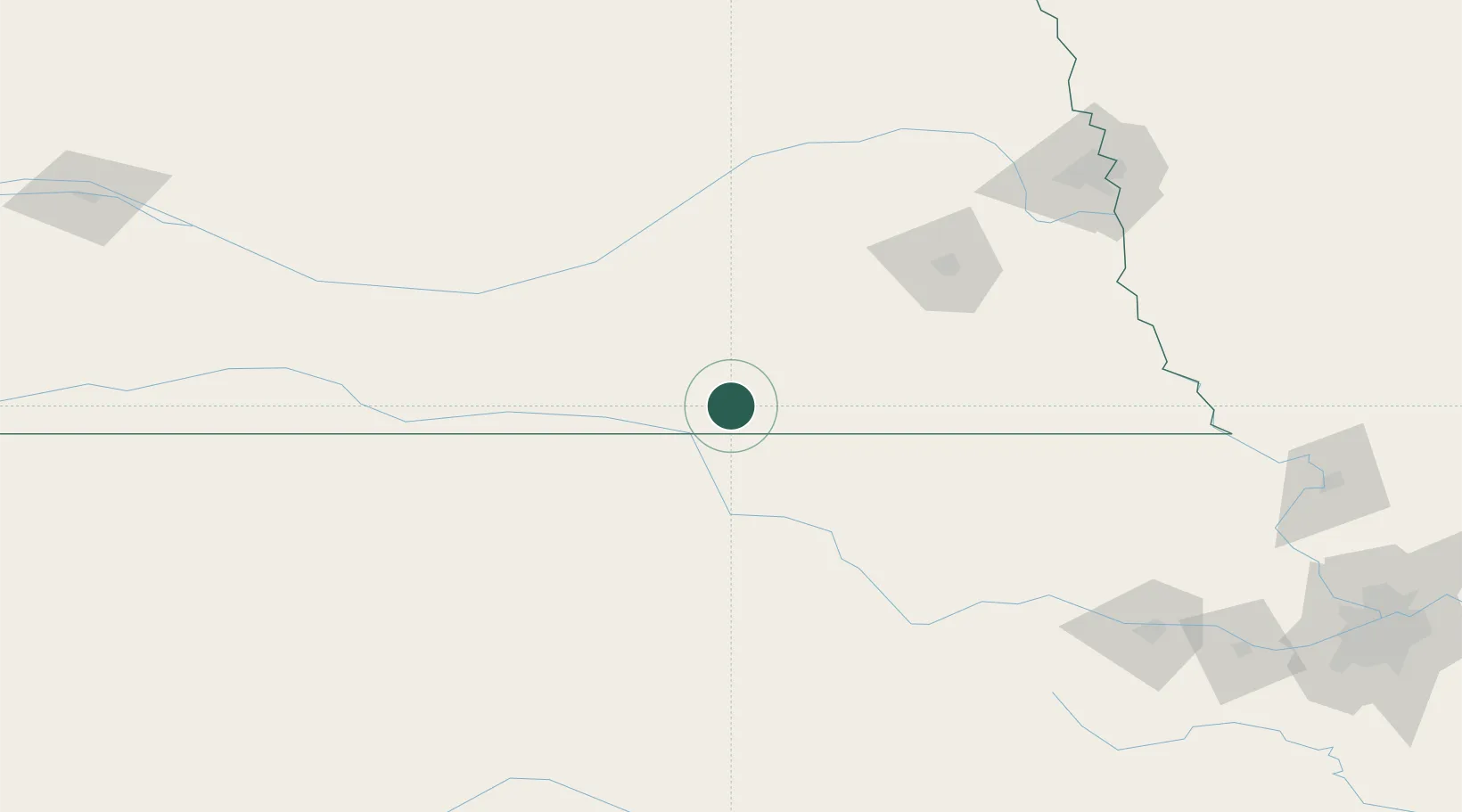
Place type
Populated place
Region
Nebraska
Population
750
Time zone
America/Chicago
Elevation
477 m
Location
Nearby Logistics Neighbours
Cities
- 1Hebron11 km
- 2Superior33 km
- 3Washington67 km
- 4De Witt73 km
- 5Wilber75 km
Ports
- 1Superior864 km
- 2Duluth865 km
- 3Port Of Memphis871 km
- 4Kaukauna904 km
- 5Ashland907 km
Airports
- 1Central Nebraska Regional Airport105 km
- 2Lincoln Airport113 km
- 3Kearney Regional Airport128 km
- 4Manhattan Regional Airport142 km
- 5Marshall Army Air Field145 km
Trade Zones
- 1FTZ No. 059 Lincoln105 km
- 2FTZ No. 133 Quad-Cities, Iowa Illinois119 km
- 3FTZ No. 017 Kansas City271 km
- 4FTZ No. 161 Sedgwick County271 km
- 5FTZ No. 015 Kansas City282 km
DatabookThe Record of Consolidated Knowledge
United States beyond logistics?