UN/LOCODE hub · United States
USUPR
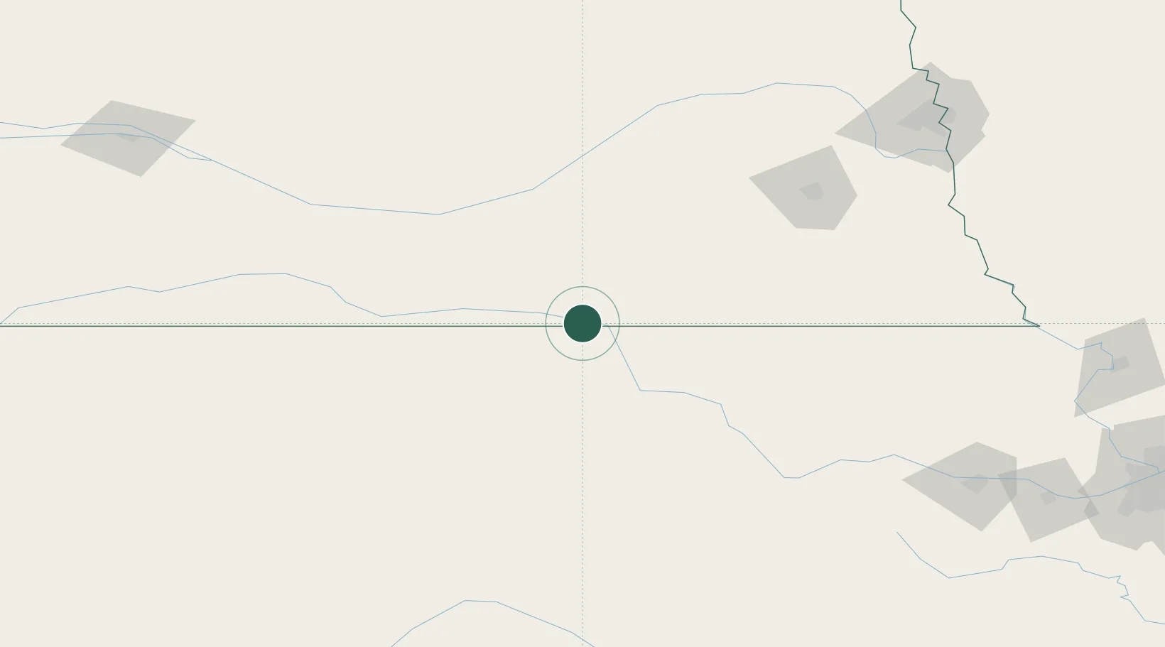
Superior
40.0167°, -98.0667°
1,884
Population
3
Transport functions
Transport Functions
Rail
Road
Multimodal
Hub Profile
Place type
Populated place
Region
Nebraska
Population
1,884
Time zone
America/Chicago
Elevation
487 m
Location
Nearby Logistics Neighbours
Cities
- 1Deshler33 km
- 2Hebron43 km
- 3Osborne85 km
- 4Washington90 km
- 5Minden92 km
Ports
- 1Port Of Memphis887 km
- 2Superior890 km
- 3Duluth892 km
- 4Two Harbors934 km
- 5Ashland935 km
Airports
- 1Central Nebraska Regional Airport108 km
- 2Kearney Regional Airport112 km
- 3Salina Municipal Airport141 km
- 4Russell Municipal Airport142 km
- 5Lincoln Airport144 km
Trade Zones
- 1FTZ No. 059 Lincoln136 km
- 2FTZ No. 133 Quad-Cities, Iowa Illinois149 km
- 3FTZ No. 161 Sedgwick County260 km
- 4FTZ No. 017 Kansas City294 km
- 5FTZ No. 015 Kansas City302 km
DatabookThe Record of Consolidated Knowledge
United States beyond logistics?