Transport Functions
Port
Rail
Road
Multimodal
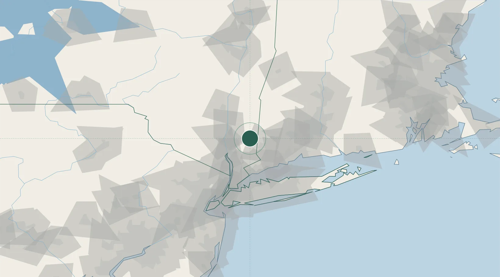
Hub Profile
Place type
Populated place
Region
New York
Time zone
America/New_York
Elevation
211 m
Location
Nearby Logistics Neighbours
Cities
- 1Stormville10 km
- 2Brewster15 km
- 3Fishkill21 km
- 4North Salem21 km
- 5South Kent22 km
Ports
- 1Newburgh31 km
- 2Poughkeepsie33 km
- 3Norwalk50 km
- 4Southport52 km
- 5Kingston54 km
Airports
Trade Zones
- 1FTZ No. 076 Bridgeport53 km
- 2FTZ No. 162 New Haven63 km
- 3FTZ No. 052 Suffolk County76 km
- 4FTZ No. 071 Windsor Locks95 km
- 5FTZ No. 001 New York City95 km
DatabookThe Record of Consolidated Knowledge
United States beyond logistics?