UN/LOCODE hub · United States
USBWZ
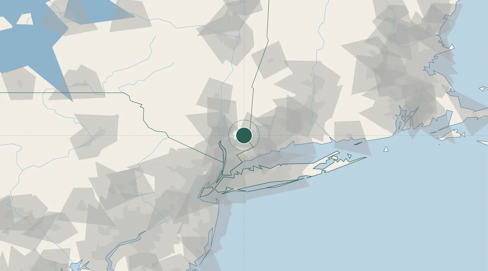
Brewster
41.3833°, -73.6167°
2,332
Population
2
Transport functions
Transport Functions
Rail
Road
Hub Profile
Place type
Populated place
Region
New York
Population
2,332
Time zone
America/New_York
Elevation
142 m
Location
Nearby Logistics Neighbours
Cities
- 1North Salem7 km
- 2Ridgefield15 km
- 3Holmes15 km
- 4Pound Ridge21 km
- 5Georgetown, Fairfield21 km
Airports
Trade Zones
DatabookThe Record of Consolidated Knowledge
United States beyond logistics?