UN/LOCODE hub · United States
USZST

Stormville

41.5667°, -73.7333°
1
Transport functions

Transport Functions

Port
UN/LOCODE

Hub Profile

Place type
Populated place
GeoNames
Region
New York
GeoNames
Time zone
America/New_York
GeoNames
Elevation
100 m
GeoNames

Location

Location of USZST
Natural Earth 10m (public domain) · New York · USZST · 41.57, -73.73GoogleOSMYandex

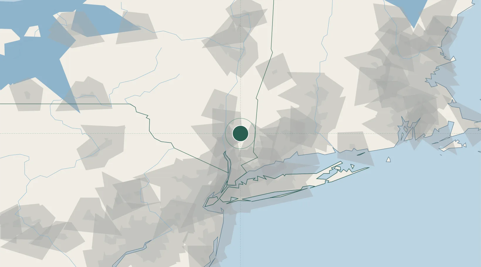
Nearby Logistics Neighbours

Cities
  1. 1Holmes10 km
  2. 2Fishkill13 km
  3. 3Chelsea20 km
  4. 4Beacon22 km
  5. 5Roseton22 km
Nearest neighbours — logibook spatial index (haversine) over the source coordinates
Ports
  1. 1Poughkeepsie23 km
  2. 2Newburgh23 km
  3. 3Kingston45 km
  4. 4Norwalk58 km
  5. 5Southport61 km
Nearest neighbours — logibook spatial index (haversine) over the source coordinates
Airports
  1. 1Dutchess County Airport14 km
  2. 2Danbury Municipal Airport30 km
  3. 3New York Stewart International Airport32 km
  4. 4Westchester County Airport56 km
  5. 5Igor I Sikorsky Memorial Airport68 km
Nearest neighbours — logibook spatial index (haversine) over the source coordinates
Trade Zones
  1. 1FTZ No. 076 Bridgeport63 km
  2. 2FTZ No. 162 New Haven73 km
  3. 3FTZ No. 052 Suffolk County85 km
  4. 4FTZ No. 001 New York City98 km
  5. 5FTZ No. 071 Windsor Locks100 km
Nearest neighbours — logibook spatial index (haversine) over the source coordinates
DatabookThe Record of Consolidated Knowledge
United States beyond logistics?
Browse databook

All Sources

LocationsUN/LOCODE
UN/LOCODE — free
Portsthe NGA World Port Index
Public domain (US gov)
AirportsOurAirports
Public domain
Trade Zonesthe World Bank SEZ database
CC BY 4.0
Trade ZonesOpen Zone Map
CC BY
← United States locations