UN/LOCODE hub · United States
USNY5

North Salem

41.3333°, -73.5667°
2
Transport functions

Transport Functions

Port
Multimodal
UN/LOCODE

Hub Profile

Place type
Populated place
GeoNames
Region
New York
GeoNames
Time zone
America/New_York
GeoNames
Elevation
154 m
GeoNames

Location

Location of USNY5
Natural Earth 10m (public domain) · New York · USNY5 · 41.33, -73.57GoogleOSMYandex

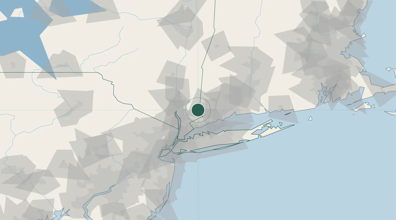
Nearby Logistics Neighbours

Cities
  1. 1Brewster7 km
  2. 2Ridgefield8 km
  3. 3Georgetown, Fairfield15 km
  4. 4Pound Ridge15 km
  5. 5Holmes21 km
Nearest neighbours — logibook spatial index (haversine) over the source coordinates
Ports
  1. 1Norwalk29 km
  2. 2Southport33 km
  3. 3Stamford33 km
  4. 4Greenwich36 km
  5. 5Bridgeport37 km
Nearest neighbours — logibook spatial index (haversine) over the source coordinates
Airports
  1. 1Danbury Municipal Airport8 km
  2. 2Westchester County Airport32 km
  3. 3Igor I Sikorsky Memorial Airport41 km
  4. 4Dutchess County Airport42 km
  5. 5New York Stewart International Airport49 km
Nearest neighbours — logibook spatial index (haversine) over the source coordinates
Trade Zones
  1. 1FTZ No. 076 Bridgeport36 km
  2. 2FTZ No. 162 New Haven54 km
  3. 3FTZ No. 052 Suffolk County55 km
  4. 4FTZ No. 001 New York City79 km
  5. 5FTZ No. 049 Newark Elizabeth88 km
Nearest neighbours — logibook spatial index (haversine) over the source coordinates
DatabookThe Record of Consolidated Knowledge
United States beyond logistics?
Browse databook

All Sources

LocationsUN/LOCODE
UN/LOCODE — free
Portsthe NGA World Port Index
Public domain (US gov)
AirportsOurAirports
Public domain
Trade Zonesthe World Bank SEZ database
CC BY 4.0
Trade ZonesOpen Zone Map
CC BY
← United States locations