Transport Functions
Rail
Road
Multimodal
Hub Profile
Place type
Populated place
Region
Ohio
Population
212
Time zone
America/New_York
Elevation
224 m
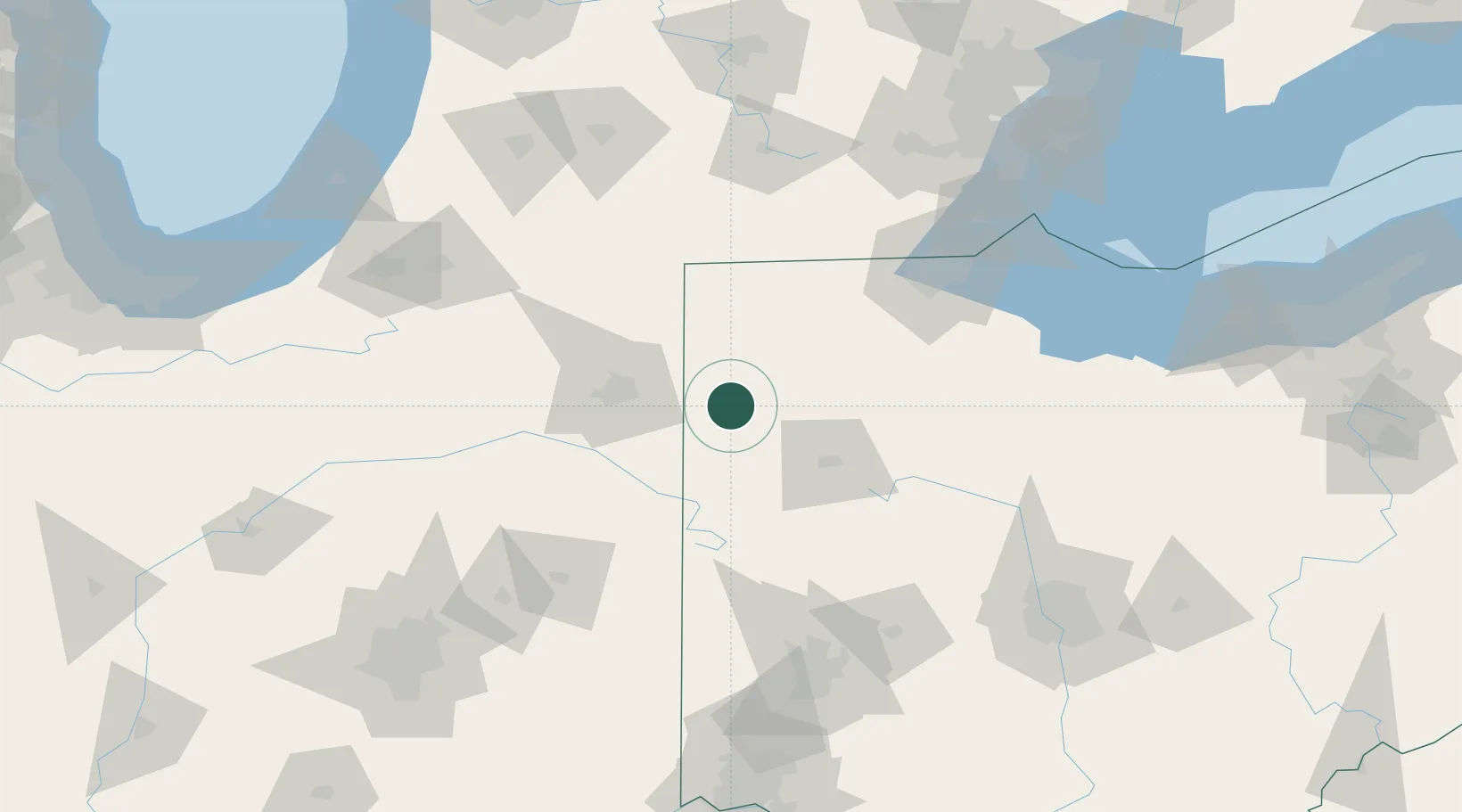
Location
Nearby Logistics Neighbours
Cities
- 1Payne15 km
- 2Convoy15 km
- 3Oakwood, Paulding18 km
- 4Antwerp21 km
- 5Ottoville23 km
Ports
- 1Toledo120 km
- 2Monroe142 km
- 3Port Clinton149 km
- 4Sandusky163 km
- 5Put In Bay164 km
Airports
Trade Zones
- 1FTZ No. 182 Fort Wayne60 km
- 2FTZ No. 151 Findlay74 km
- 3FTZ No. 008 Toledo113 km
- 4FTZ No. 100 Dayton138 km
- 5FTZ No. 043 Battle Creek158 km
DatabookThe Record of Consolidated Knowledge
United States beyond logistics?