Transport Functions
Multimodal
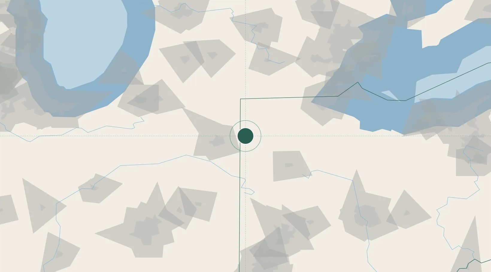
Hub Profile
Place type
Populated place
Region
Ohio
Population
1,692
Time zone
America/New_York
Elevation
222 m
Location
Nearby Logistics Neighbours
Ports
- 1Toledo121 km
- 2Monroe141 km
- 3Port Clinton155 km
- 4Put In Bay169 km
- 5Trenton169 km
Airports
Trade Zones
- 1FTZ No. 182 Fort Wayne48 km
- 2FTZ No. 151 Findlay87 km
- 3FTZ No. 008 Toledo114 km
- 4FTZ No. 043 Battle Creek138 km
- 5FTZ No. 125 South Bend146 km
DatabookThe Record of Consolidated Knowledge
United States beyond logistics?