UN/LOCODE hub · United States
USYGL
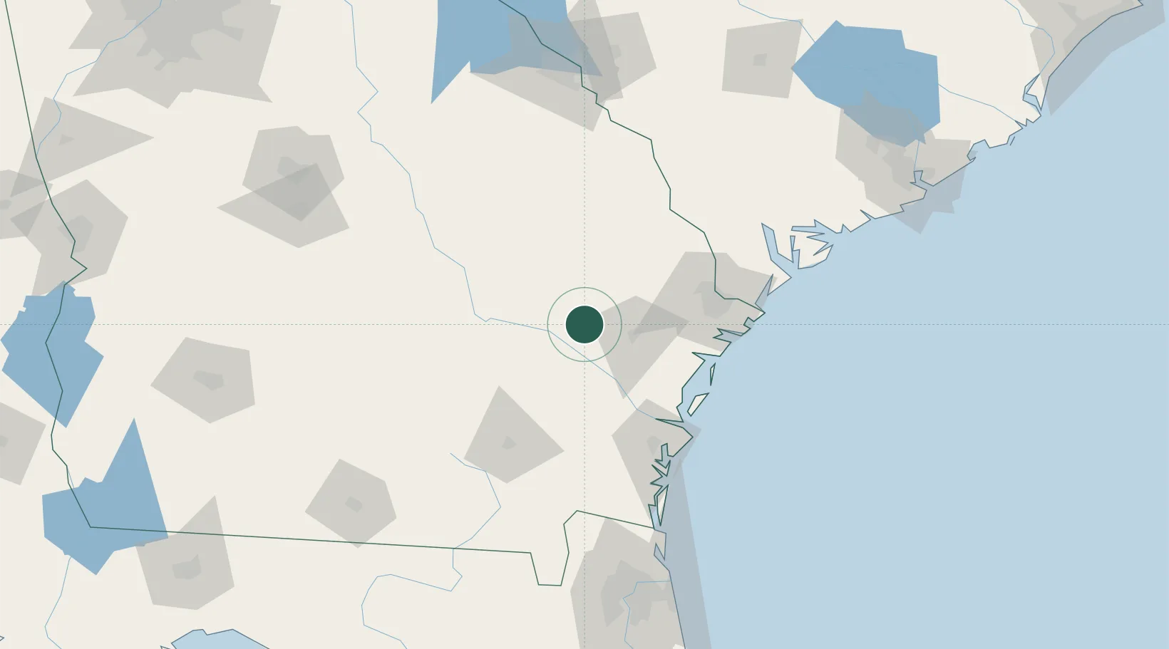
Glennville
31.9333°, -81.9167°
5,086
Population
3
Transport functions
Transport Functions
Port
Road
Multimodal
Hub Profile
Place type
Populated place
Region
Georgia
Population
5,086
Time zone
America/New_York
Elevation
52 m
Location
Nearby Logistics Neighbours
Cities
- 1Fort Stewart29 km
- 2Collins34 km
- 3Pembroke36 km
- 4Surrency36 km
- 5McIntosh40 km
Ports
- 1Darien78 km
- 2Savannah80 km
- 3Brunswick96 km
- 4Port Royal126 km
- 5Beaufort130 km
Airports
Trade Zones
- 1FTZ No. 104 Savannah80 km
- 2FTZ No. 144 Brunswick95 km
- 3FTZ No. 021 Dorchester County170 km
- 4FTZ No. 064 Jacksonville177 km
- 5FTZ No. 127 West Columbia240 km
DatabookThe Record of Consolidated Knowledge
United States beyond logistics?