UN/LOCODE hub · United States
USRWT
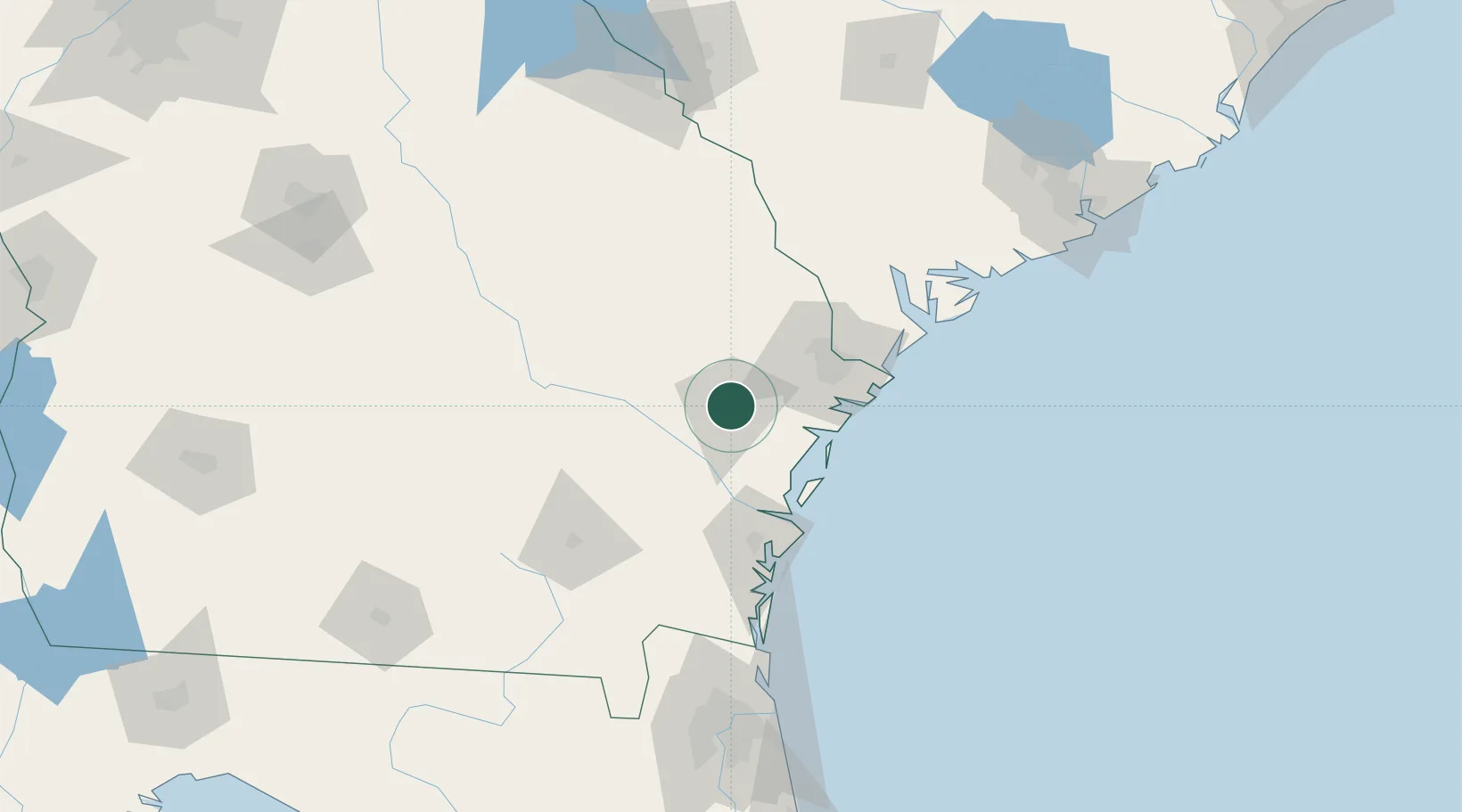
Fort Stewart
31.8667°, -81.6167°
4,924
Population
2
Transport functions
Transport Functions
Rail
Road
Hub Profile
Place type
Populated place
Region
Georgia
Population
4,924
Time zone
America/New_York
Elevation
24 m
Location
Nearby Logistics Neighbours
Cities
- 1McIntosh11 km
- 2Lanier29 km
- 3Glennville29 km
- 4Pembroke30 km
- 5Ellabell31 km
Ports
- 1Savannah56 km
- 2Darien58 km
- 3Brunswick81 km
- 4Port Royal104 km
- 5Beaufort109 km
Airports
Trade Zones
- 1FTZ No. 104 Savannah55 km
- 2FTZ No. 144 Brunswick80 km
- 3FTZ No. 021 Dorchester County159 km
- 4FTZ No. 064 Jacksonville172 km
- 5FTZ No. 127 West Columbia241 km
DatabookThe Record of Consolidated Knowledge
United States beyond logistics?