Transport Functions
Rail
Road
Multimodal
Hub Profile
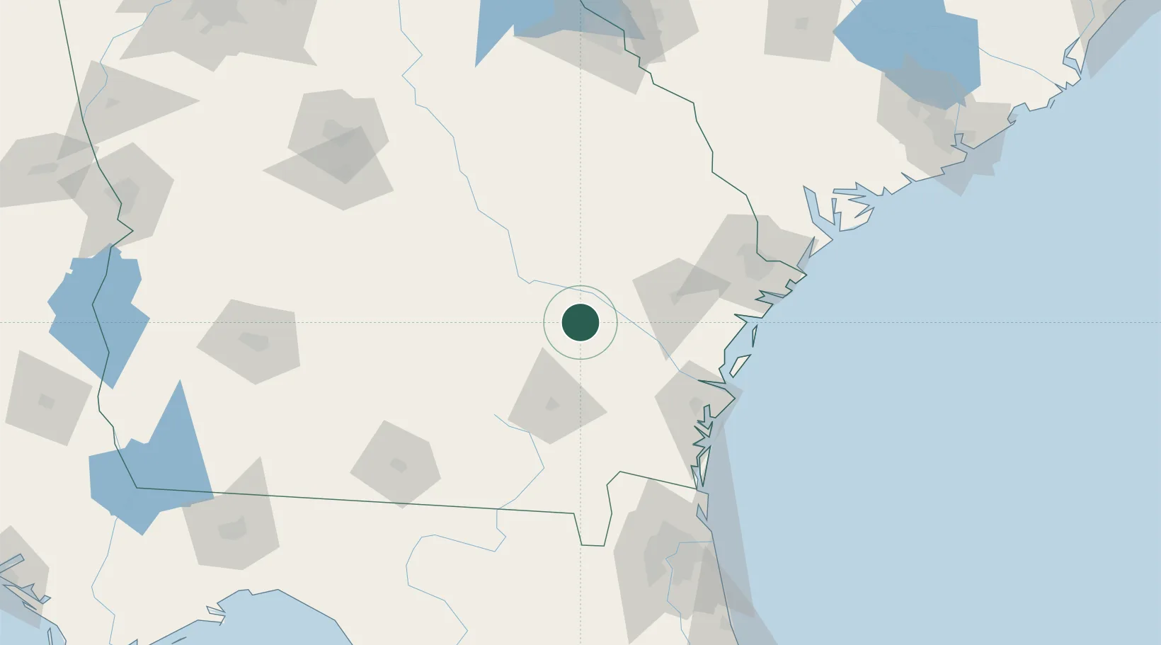
Place type
Populated place
Region
Georgia
Population
207
Time zone
America/New_York
Elevation
56 m
Location
Nearby Logistics Neighbours
Cities
- 1Graham31 km
- 2Glennville36 km
- 3Hazlehurst40 km
- 4Rock Springs43 km
- 5Denton46 km
Ports
- 1Darien82 km
- 2Brunswick92 km
- 3Savannah113 km
- 4Fernandina Beach134 km
- 5Port Royal160 km
Airports
Trade Zones
- 1FTZ No. 144 Brunswick91 km
- 2FTZ No. 104 Savannah112 km
- 3FTZ No. 064 Jacksonville154 km
- 4FTZ No. 021 Dorchester County206 km
- 5FTZ No. 127 West Columbia272 km
DatabookThe Record of Consolidated Knowledge
United States beyond logistics?