UN/LOCODE hub · United States
USQPB
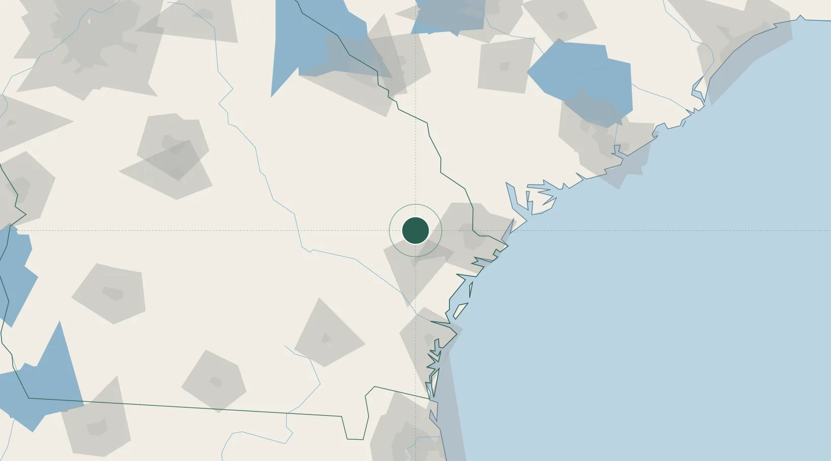
Pembroke
32.1333°, -81.6167°
2,445
Population
3
Transport functions
Transport Functions
Rail
Road
Multimodal
Hub Profile
Place type
Provincial seat
Region
Georgia
Population
2,445
Time zone
America/New_York
Elevation
27 m
Location
Nearby Logistics Neighbours
Cities
- 1Lanier8 km
- 2Ellabell13 km
- 3Brooklet26 km
- 4Fort Stewart30 km
- 5Glennville36 km
Ports
- 1Savannah51 km
- 2Darien87 km
- 3Port Royal92 km
- 4Beaufort95 km
- 5Brunswick110 km
Airports
Trade Zones
- 1FTZ No. 104 Savannah49 km
- 2FTZ No. 144 Brunswick110 km
- 3FTZ No. 021 Dorchester County135 km
- 4FTZ No. 064 Jacksonville202 km
- 5FTZ No. 127 West Columbia212 km
DatabookThe Record of Consolidated Knowledge
United States beyond logistics?