Transport Functions
Rail
Road
Multimodal
Hub Profile
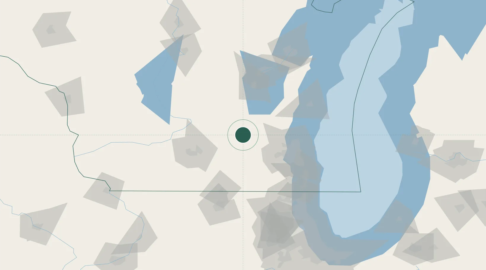
Place type
Populated place
Region
Wisconsin
Population
404
Time zone
America/Chicago
Elevation
279 m
Location
Nearby Logistics Neighbours
Cities
- 1Hustisford10 km
- 2Reeseville10 km
- 3Ixonia21 km
- 4Hartford28 km
- 5Fox Lake30 km
Ports
- 1Port Washington69 km
- 2Milwaukee75 km
- 3Sheboygan95 km
- 4Racine100 km
- 5Kenosha110 km
Airports
Trade Zones
- 1FTZ No. 041 Milwaukee57 km
- 2FTZ No. 266 Dane County85 km
- 3FTZ No. 176 Rockford125 km
- 4FTZ No. 292 Lake County130 km
- 5FTZ No. 167 Brown County132 km
DatabookThe Record of Consolidated Knowledge
United States beyond logistics?