Medium airport · United States
Tonopah AirportKTPH
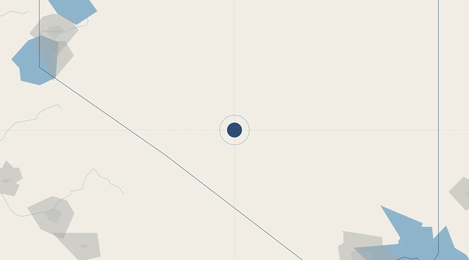
38.0602°, -117.0870°
7,160 ft
Longest runway
2
Runways
5,430 ft
Elevation
Runway & Layout

Radio Frequencies
ASOS
118.875 MHz
CNTR
133.45 MHz
SALT LAKE CNTR
RDO
122.6 MHz
RENO RDO
UNIC
123 MHz
CTAF/UNICOM
Runways · 2
| Runway | Dimensions | Surface | True heading | Lit |
|---|---|---|---|---|
| 15/33 | 7,160 × 75ft | Asphalt | 165° | ✓ |
| 11/29 | 5,660 × 50ft | Asphalt | 125° | — |
Airport Specifications
IATA code
TPH
ICAO code
KTPH
Airport class
Medium airport
Scheduled service
No
Runway surface
Asphalt
Served city
Tonopah
Location
Nearby Logistics Neighbours
Airports
- 1Eastern Sierra Regional Airport136 km
- 2Homey (Area 51) Airport145 km
- 3Mammoth Yosemite Airport162 km
- 4Desert Rock Airport185 km
- 5Fallon Naval Air Station206 km
Ports
- 1Stockton369 km
- 2Walnut Grove388 km
- 3Sacramento389 km
- 4Courtland393 km
- 5Isleton395 km
Trade Zones
- 1FTZ No. 089 Clark County254 km
- 2FTZ No. 170 Clark County254 km
- 3FTZ No. 126 Sparks288 km
- 4FTZ No. 226 Merced, Madera and Fresno Counties310 km
- 5FTZ No. 276 Kern County345 km
DatabookThe Record of Consolidated Knowledge
United States beyond logistics?