Transport Functions
Port
Rail
Road
Multimodal
Hub Profile
Place type
Provincial seat
Region
Wisconsin
Population
6,014
Time zone
America/Chicago
Elevation
259 m
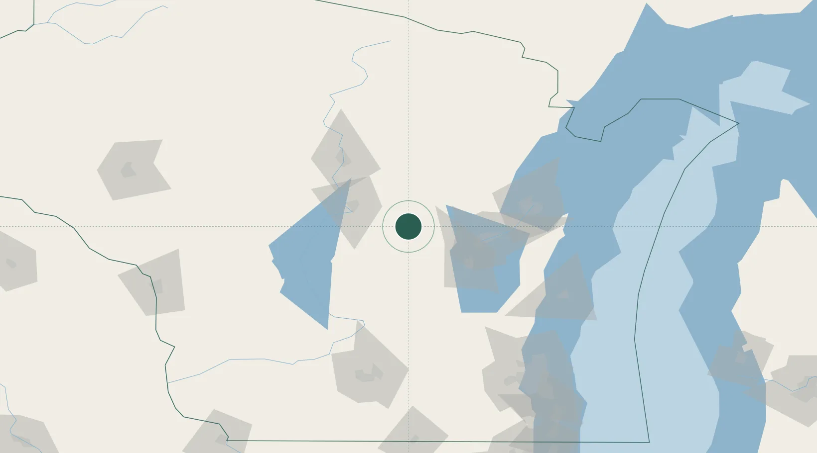
Location
Nearby Logistics Neighbours
Ports
- 1Kaukauna65 km
- 2Green Bay87 km
- 3Oconto116 km
- 4Manitowoc118 km
- 5Two Rivers123 km
Airports
Trade Zones
- 1FTZ No. 167 Brown County65 km
- 2FTZ No. 266 Dane County151 km
- 3FTZ No. 041 Milwaukee164 km
- 4FTZ No. 019 Omaha221 km
- 5FTZ No. 176 Rockford233 km
DatabookThe Record of Consolidated Knowledge
United States beyond logistics?