UN/LOCODE hub · United States
USWWI
Weyauwega
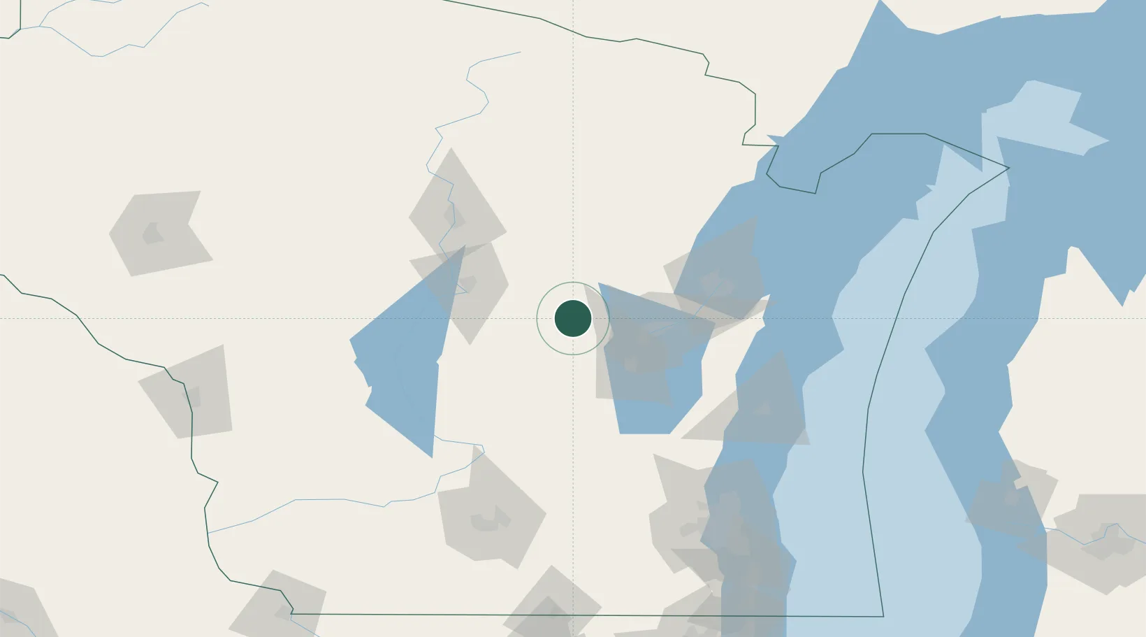
44.3167°, -88.9167°
1,866
Population
3
Transport functions
Transport Functions
Port
Rail
Road
Hub Profile
Place type
Populated place
Region
Wisconsin
Population
1,866
Time zone
America/Chicago
Elevation
242 m
Location
Nearby Logistics Neighbours
Cities
- 1Waupaca14 km
- 2King19 km
- 3Dale21 km
- 4Winneconne27 km
- 5Bear Creek28 km
Ports
- 1Kaukauna52 km
- 2Green Bay75 km
- 3Manitowoc104 km
- 4Oconto107 km
- 5Two Rivers109 km
Airports
Trade Zones
- 1FTZ No. 167 Brown County53 km
- 2FTZ No. 266 Dane County153 km
- 3FTZ No. 041 Milwaukee154 km
- 4FTZ No. 019 Omaha208 km
- 5FTZ No. 176 Rockford231 km
DatabookThe Record of Consolidated Knowledge
United States beyond logistics?