Transport Functions
Multimodal
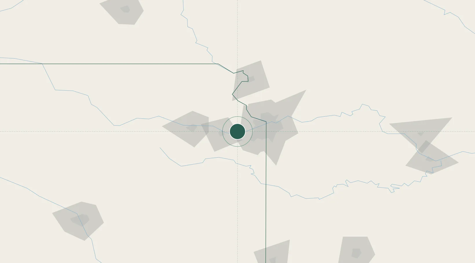
Hub Profile
Place type
Populated place
Region
Kansas
Population
384
Time zone
America/Chicago
Elevation
245 m
Location
Nearby Logistics Neighbours
Cities
- 1De Soto7 km
- 2Tonganoxie14 km
- 3New Century23 km
- 4Muncie28 km
- 5Baldwin City29 km
Ports
- 1Port Of Memphis615 km
- 2Calumet Harbor705 km
- 3Chicago706 km
- 4Indiana Harbor709 km
- 5Wilmette709 km
Airports
Trade Zones
- 1FTZ No. 017 Kansas City18 km
- 2FTZ No. 015 Kansas City21 km
- 3FTZ No. 133 Quad-Cities, Iowa Illinois169 km
- 4FTZ No. 059 Lincoln252 km
- 5FTZ No. 225 Springfield259 km
DatabookThe Record of Consolidated Knowledge
United States beyond logistics?