Medium airport · United States
Chanute Martin Johnson AirportKCNU
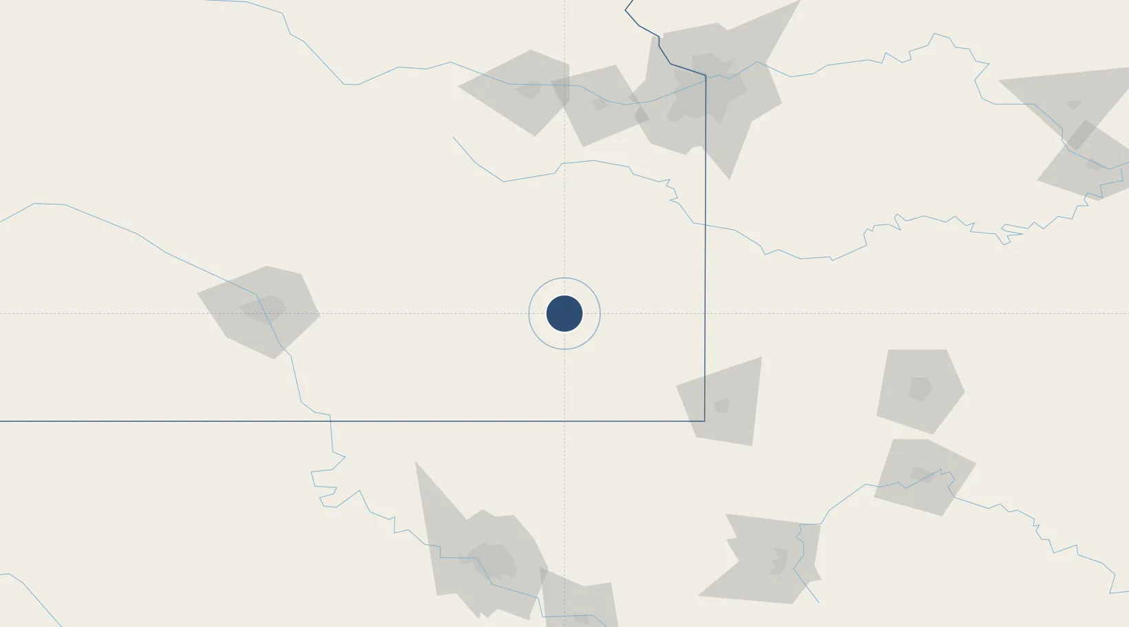
37.6682°, -95.4867°
4,254 ft
Longest runway
1
Runways
1,002 ft
Elevation
Runway & Layout

Radio Frequencies
ASOS
127.075 MHz
CNTR
132.9 MHz
KANSAS CITY CNTR
RDO
122.35 MHz
WICHITA RDO
UNIC
122.7 MHz
CTAF/UNICOM
Runways · 1
| Runway | Dimensions | Surface | True heading | Lit |
|---|---|---|---|---|
| 18/36 | 4,254 × 75ft | Asphalt | 187° | ✓ |
Airport Specifications
IATA code
CNU
ICAO code
KCNU
Airport class
Medium airport
Scheduled service
No
Runway surface
Asphalt
Served city
Chanute
Location
Nearby Logistics Neighbours
Airports
- 1Joplin Regional Airport105 km
- 2Topeka Regional Airport144 km
- 3Philip Billard Municipal Airport156 km
- 4McConnell Air Force Base157 km
- 5Tulsa International Airport167 km
Ports
- 1Port Of Memphis557 km
- 2Calumet Harbor818 km
- 3Indiana Harbor820 km
- 4Chicago820 km
- 5Gary824 km
Trade Zones
- 1FTZ No. 015 Kansas City140 km
- 2FTZ No. 053 Rogers County152 km
- 3FTZ No. 017 Kansas City168 km
- 4FTZ No. 161 Sedgwick County200 km
- 5FTZ No. 225 Springfield212 km
DatabookThe Record of Consolidated Knowledge
United States beyond logistics?