UN/LOCODE hub · United States
USBZI
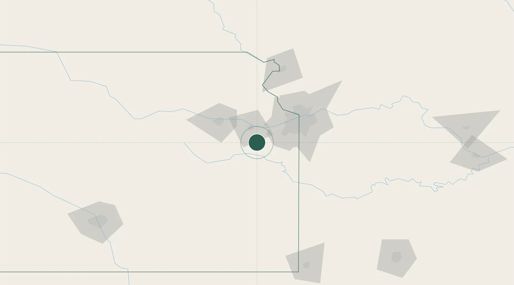
Baldwin City
38.7667°, -95.1833°
4,669
Population
2
Transport functions
Transport Functions
Rail
Road
Hub Profile
Place type
Populated place
Region
Kansas
Population
4,669
Time zone
America/Chicago
Elevation
316 m
Location
Nearby Logistics Neighbours
Cities
- 1New Century27 km
- 2Linwood29 km
- 3De Soto29 km
- 4Tonganoxie40 km
- 5Lyndon47 km
Ports
- 1Port Of Memphis607 km
- 2Calumet Harbor729 km
- 3Chicago730 km
- 4Indiana Harbor732 km
- 5Wilmette734 km
Airports
Trade Zones
DatabookThe Record of Consolidated Knowledge
United States beyond logistics?