UN/LOCODE hub · United States
USYCE

Carver

41.8833°, -70.7667°
11,718
Population
2
Transport functions

Transport Functions

Port
Road
UN/LOCODE

Hub Profile

Place type
Populated place
GeoNames
Region
Massachusetts
GeoNames
Population
11,718
GeoNames
Time zone
America/New_York
GeoNames
Elevation
30 m
GeoNames

Location

Location of USYCE
Natural Earth 10m (public domain) · Massachusetts · USYCE · 41.88, -70.77GoogleOSMYandex

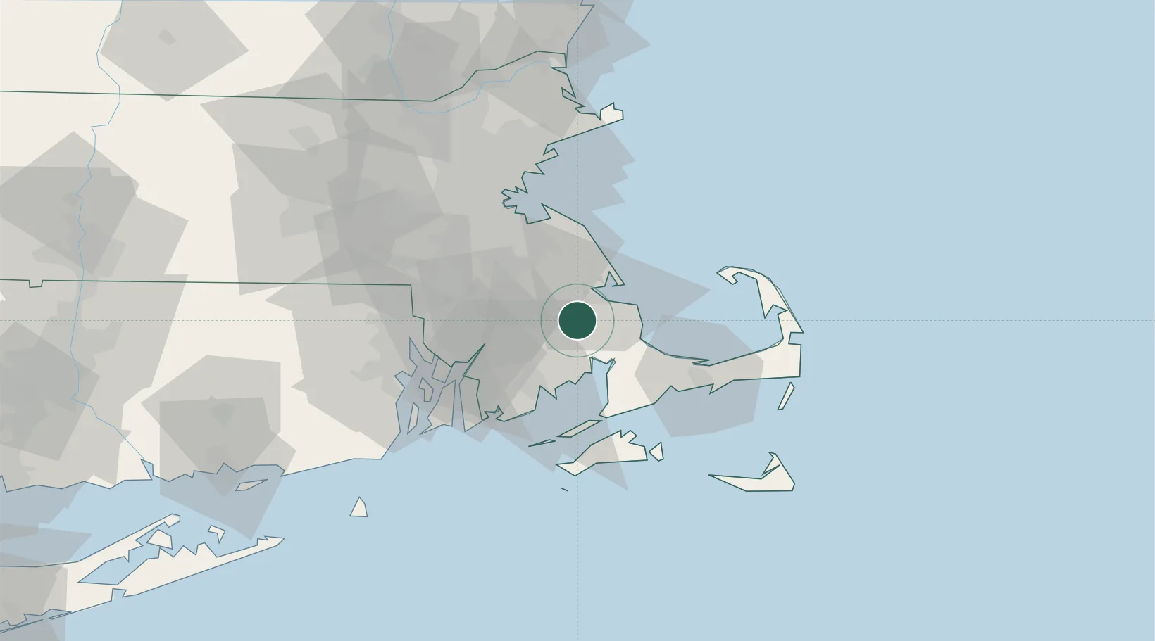
Nearby Logistics Neighbours

Cities
  1. 1East Freetown20 km
  2. 2Duxbury20 km
  3. 3Marion20 km
  4. 4East Taunton21 km
  5. 5Buzzards Bay21 km
Nearest neighbours — logibook spatial index (haversine) over the source coordinates
Ports
  1. 1Plymouth11 km
  2. 2New Bedford31 km
  3. 3Scituate36 km
  4. 4Fall River39 km
  5. 5Falmouth39 km
Nearest neighbours — logibook spatial index (haversine) over the source coordinates
Airports
  1. 1New Bedford Regional Airport28 km
  2. 2Cape Cod Gateway Airport47 km
  3. 3Norwood Memorial Airport48 km
  4. 4Martha's Vineyard Airport56 km
  5. 5Boston Logan International Airport57 km
Nearest neighbours — logibook spatial index (haversine) over the source coordinates
Trade Zones
  1. 1FTZ No. 028 New Bedford31 km
  2. 2FTZ No. 027 Boston56 km
  3. 3FTZ No. 105 Providence and North Kingstown58 km
  4. 4FTZ No. 208 New London125 km
  5. 5FTZ No. 081 Portsmouth131 km
Nearest neighbours — logibook spatial index (haversine) over the source coordinates
DatabookThe Record of Consolidated Knowledge
United States beyond logistics?
Browse databook

All Sources

LocationsUN/LOCODE
UN/LOCODE — free
LocationsGeoNames
CC BY 4.0
Portsthe NGA World Port Index
Public domain (US gov)
AirportsOurAirports
Public domain
Trade Zonesthe World Bank SEZ database
CC BY 4.0
Trade ZonesOpen Zone Map
CC BY
← United States locations