UN/LOCODE hub · United States
USZBG
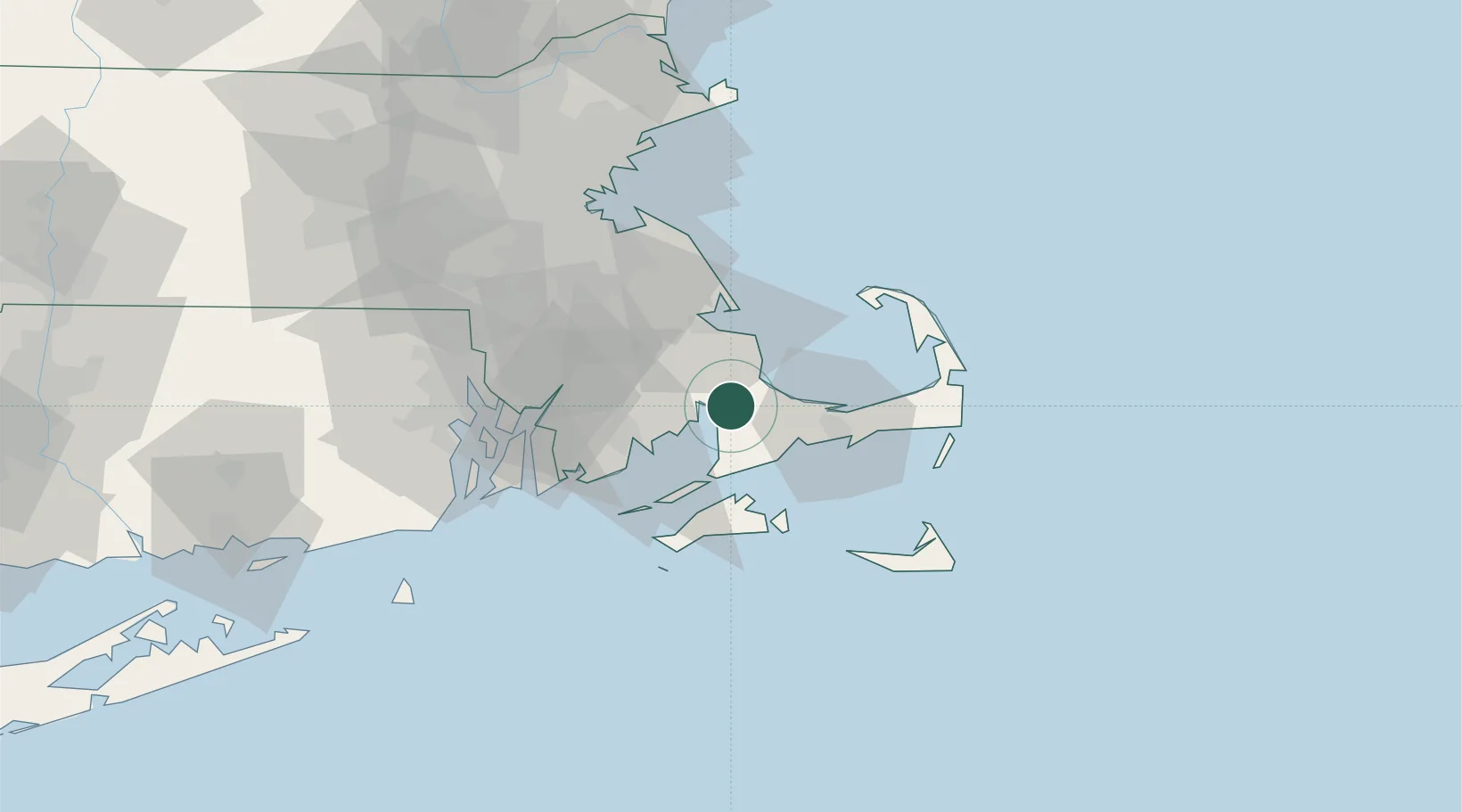
Buzzards Bay
41.7333°, -70.6167°
3,859
Population
1
Transport functions
Transport Functions
Multimodal
Hub Profile
Place type
Populated place
Region
Massachusetts
Population
3,859
Time zone
America/New_York
Elevation
3 m
Location
Nearby Logistics Neighbours
Cities
- 1Cataumet7 km
- 2Marion12 km
- 3East Falmouth19 km
- 4Carver21 km
- 5Osterville22 km
Ports
- 1Falmouth20 km
- 2Plymouth24 km
- 3Woods Hole24 km
- 4New Bedford27 km
- 5Hyannis29 km
Airports
Trade Zones
- 1FTZ No. 028 New Bedford33 km
- 2FTZ No. 105 Providence and North Kingstown70 km
- 3FTZ No. 027 Boston76 km
- 4FTZ No. 208 New London130 km
- 5FTZ No. 081 Portsmouth148 km
DatabookThe Record of Consolidated Knowledge
United States beyond logistics?