UN/LOCODE hub · United States
USDUH
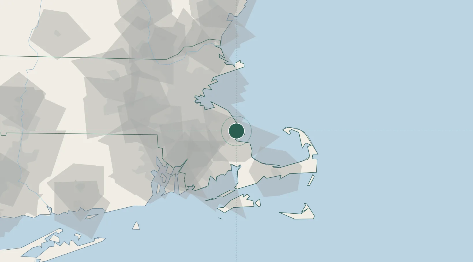
Duxbury
42.0500°, -70.6667°
15,059
Population
2
Transport functions
Transport Functions
Port
Road
Hub Profile
Place type
Populated place
Region
Massachusetts
Population
15,059
Time zone
America/New_York
Elevation
5 m
Location
Nearby Logistics Neighbours
Ports
- 1Plymouth11 km
- 2Scituate17 km
- 3Quincy33 km
- 4Provincetown40 km
- 5Boston46 km
Airports
Trade Zones
- 1FTZ No. 027 Boston47 km
- 2FTZ No. 028 New Bedford51 km
- 3FTZ No. 105 Providence and North Kingstown70 km
- 4FTZ No. 081 Portsmouth113 km
- 5FTZ No. 208 New London142 km
DatabookThe Record of Consolidated Knowledge
United States beyond logistics?