UN/LOCODE hub · United States
USDJ9
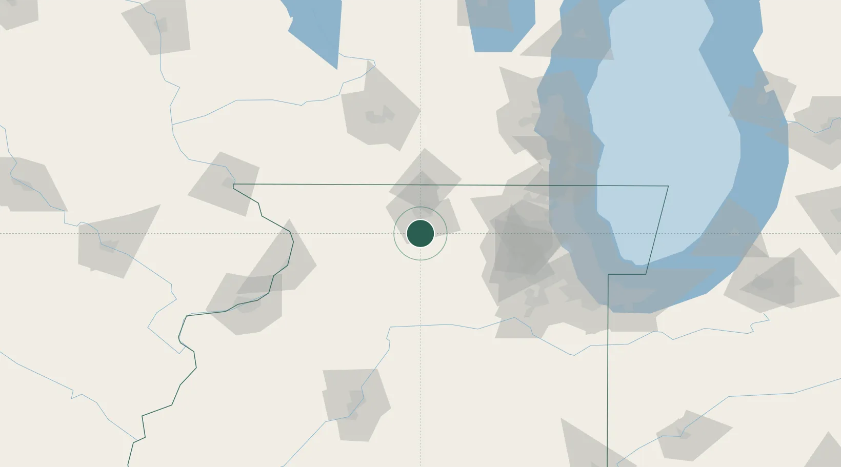
Davis Junction
42.1000°, -89.0833°
2,270
Population
1
Transport functions
Transport Functions
Multimodal
Hub Profile
Place type
Populated place
Region
Illinois
Population
2,270
Time zone
America/Chicago
Elevation
241 m
Location
Nearby Logistics Neighbours
Cities
- 1Holcomb6 km
- 2Lindenwood8 km
- 3Byron14 km
- 4Kirkland19 km
- 5Winnebago21 km
Ports
- 1Great Lakes105 km
- 2Waukegan108 km
- 3Wilmette116 km
- 4Kenosha117 km
- 5Chicago125 km
Airports
Trade Zones
- 1FTZ No. 176 Rockford20 km
- 2FTZ No. 271 Jo-Daviess and Carroll Counties98 km
- 3FTZ No. 292 Lake County101 km
- 4FTZ No. 022 Chicago104 km
- 5FTZ No. 266 Dane County119 km
DatabookThe Record of Consolidated Knowledge
United States beyond logistics?