Transport Functions
Rail
Road
Multimodal
Hub Profile
Place type
Populated place
Region
Illinois
Time zone
America/Chicago
Elevation
256 m
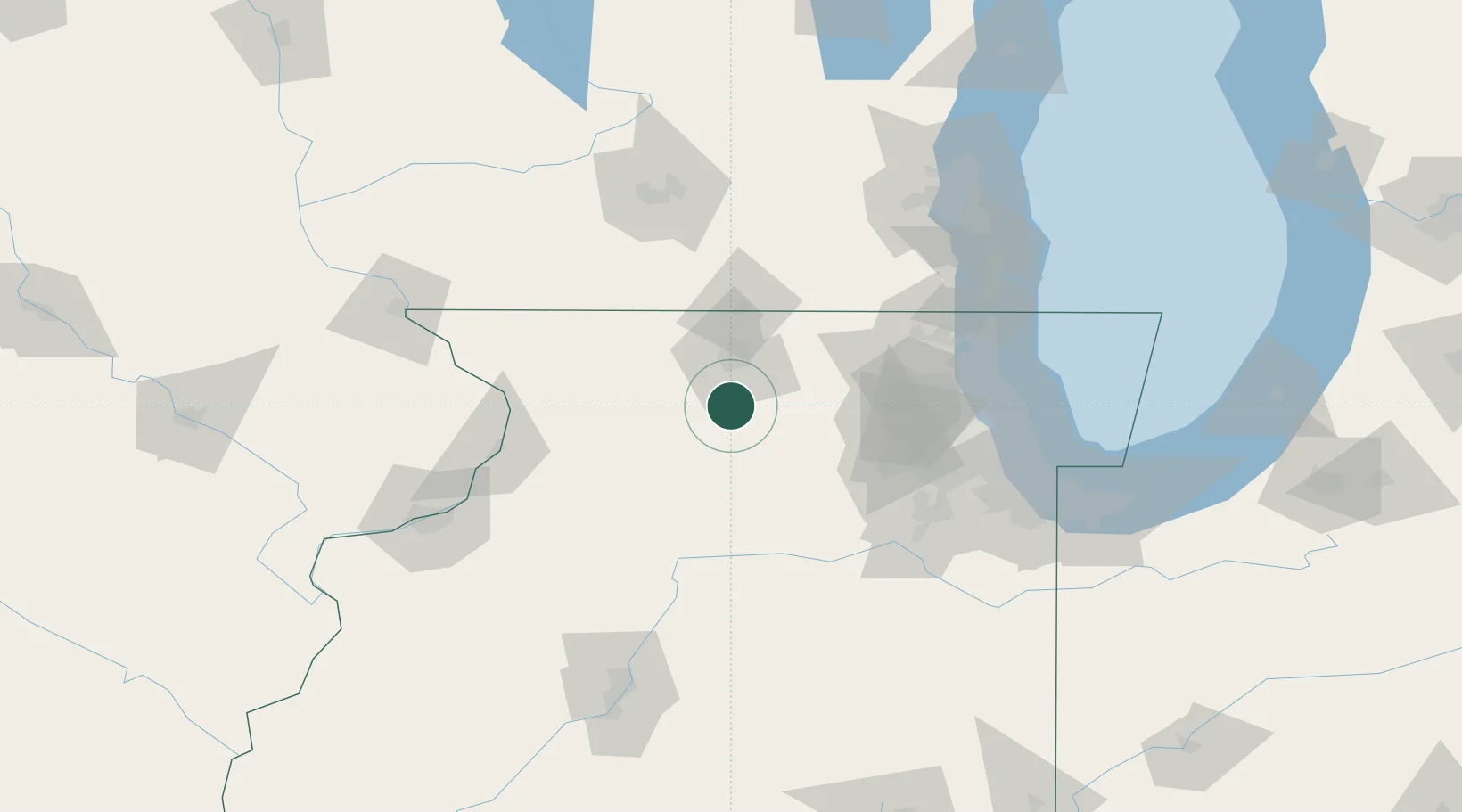
Location
Nearby Logistics Neighbours
Cities
- 1Lindenwood6 km
- 2Davis Junction6 km
- 3Byron16 km
- 4Kirkland20 km
- 5Clare21 km
Ports
- 1Great Lakes107 km
- 2Waukegan110 km
- 3Wilmette116 km
- 4Kenosha120 km
- 5Chicago124 km
Airports
Trade Zones
- 1FTZ No. 176 Rockford25 km
- 2FTZ No. 271 Jo-Daviess and Carroll Counties100 km
- 3FTZ No. 292 Lake County103 km
- 4FTZ No. 022 Chicago103 km
- 5FTZ No. 266 Dane County124 km
DatabookThe Record of Consolidated Knowledge
United States beyond logistics?