Transport Functions
Road
Multimodal
Hub Profile
Place type
Populated place
Region
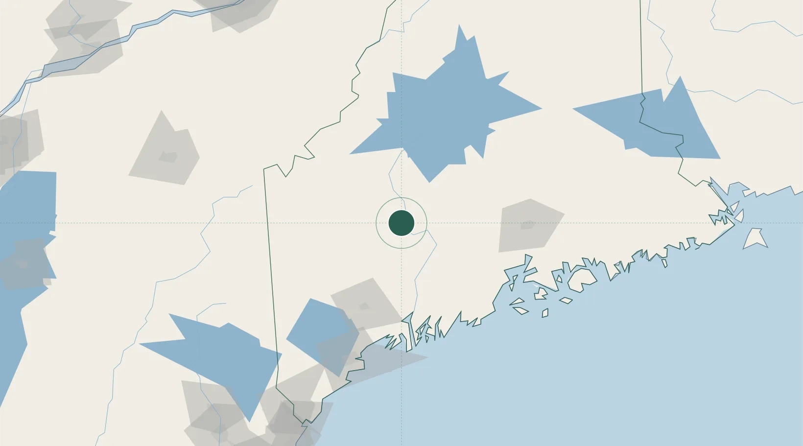
Maine
Time zone
America/New_York
Elevation
91 m
Location
Nearby Logistics Neighbours
Cities
- 1Bingham26 km
- 2Fairfield37 km
- 3Burnham39 km
- 4Pittsfield40 km
- 5North Vassalboro44 km
Ports
- 1Augusta58 km
- 2Gardiner67 km
- 3Belfast84 km
- 4Winterport85 km
- 5Searsport88 km
Airports
- 1Augusta State Airport57 km
- 2Bangor International Airport83 km
- 3Islesboro Airport97 km
- 4Brunswick Executive Airport105 km
- 5Knox County Regional Airport106 km
Trade Zones
- 1FTZ No. 186 Waterville35 km
- 2FTZ No. 058 Bangor84 km
- 3FTZ No. 263 Auburn86 km
- 4FTZ No. 081 Portsmouth212 km
- 5Québec City FTZ246 km
DatabookThe Record of Consolidated Knowledge
United States beyond logistics?