Transport Functions
Rail
Road
Multimodal
Hub Profile
Place type
Populated place
Region
Wisconsin
Population
1,038
Time zone
America/Chicago
Elevation
320 m
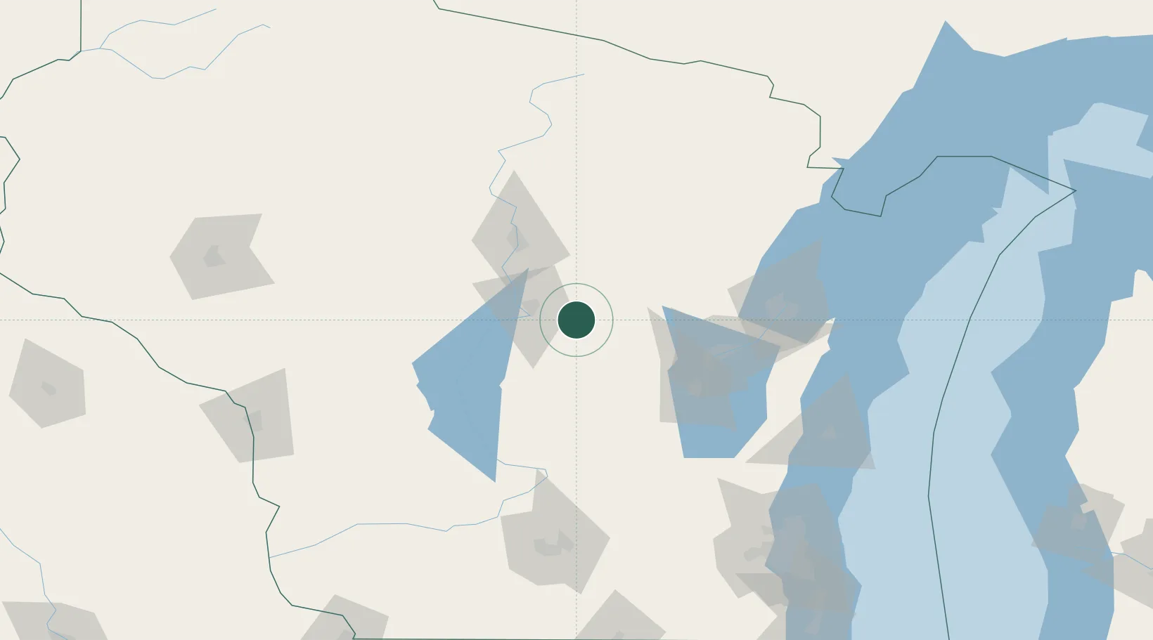
Location
Nearby Logistics Neighbours
Ports
- 1Kaukauna83 km
- 2Green Bay101 km
- 3Oconto125 km
- 4Manitowoc136 km
- 5Two Rivers141 km
Airports
Trade Zones
- 1FTZ No. 167 Brown County79 km
- 2FTZ No. 266 Dane County157 km
- 3FTZ No. 041 Milwaukee181 km
- 4FTZ No. 019 Omaha240 km
- 5FTZ No. 176 Rockford244 km
DatabookThe Record of Consolidated Knowledge
United States beyond logistics?