Transport Functions
Road
Multimodal
Hub Profile
Place type
Populated place
Region
Wisconsin
Population
1,220
Time zone
America/Chicago
Elevation
259 m
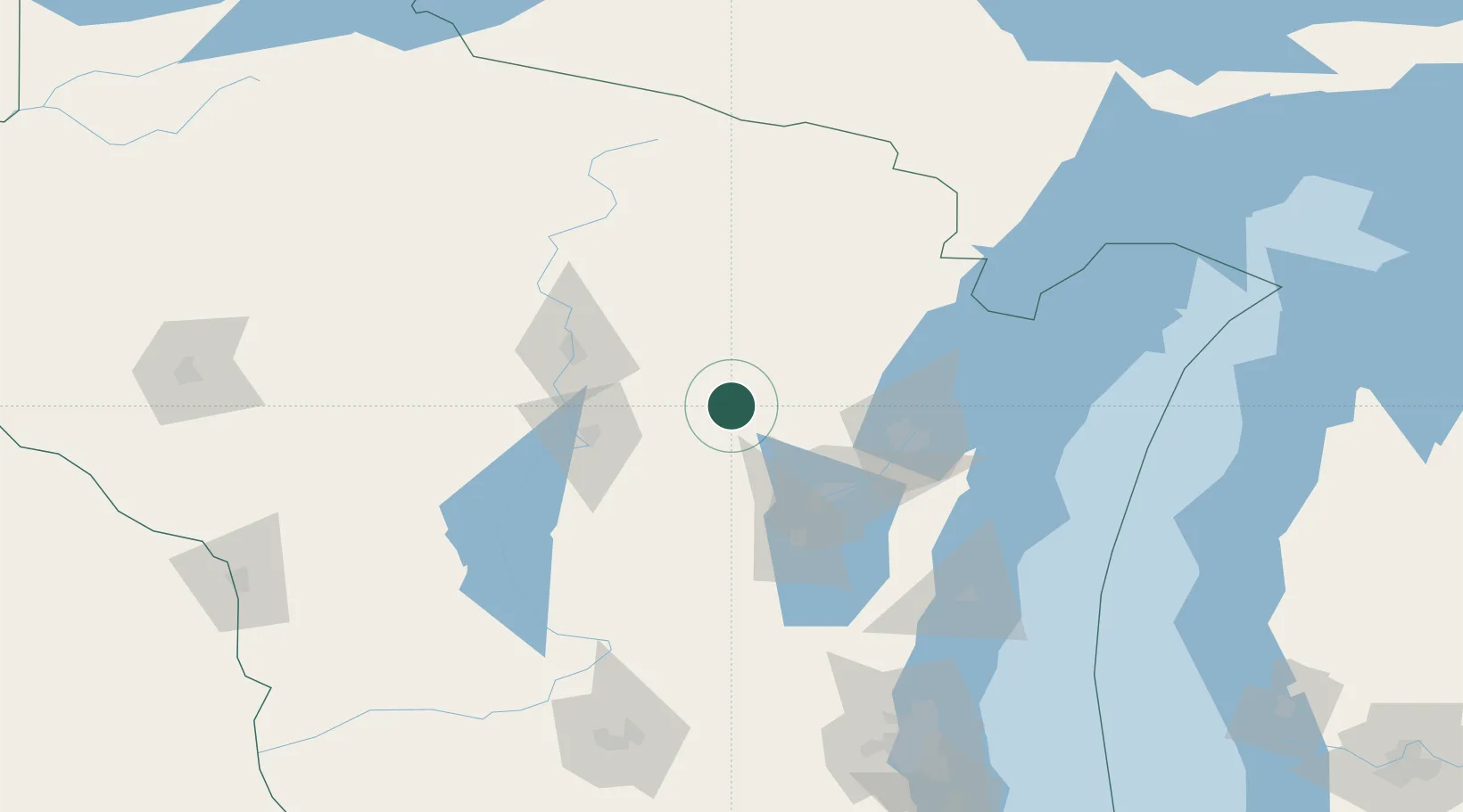
Location
Nearby Logistics Neighbours
Cities
- 1Bear Creek19 km
- 2Bowler24 km
- 3Wittenberg28 km
- 4Waupaca39 km
- 5Birnamwood39 km
Airports
Trade Zones
- 1FTZ No. 167 Brown County53 km
- 2FTZ No. 041 Milwaukee189 km
- 3FTZ No. 266 Dane County189 km
- 4FTZ No. 019 Omaha229 km
- 5FTZ No. 189 Kent Ottawa/Muskegon Counties261 km
DatabookThe Record of Consolidated Knowledge
United States beyond logistics?