UN/LOCODE hub · United States
USUTE

Custer

44.5167°, -89.4167°
2
Transport functions

Transport Functions

Rail
Road
UN/LOCODE

Hub Profile

Place type
Populated place
GeoNames
Region
Wisconsin
GeoNames
Time zone
America/Chicago
GeoNames
Elevation
356 m
GeoNames

Location

Location of USUTE
Natural Earth 10m (public domain) · Wisconsin · USUTE · 44.52, -89.42GoogleOSMYandex

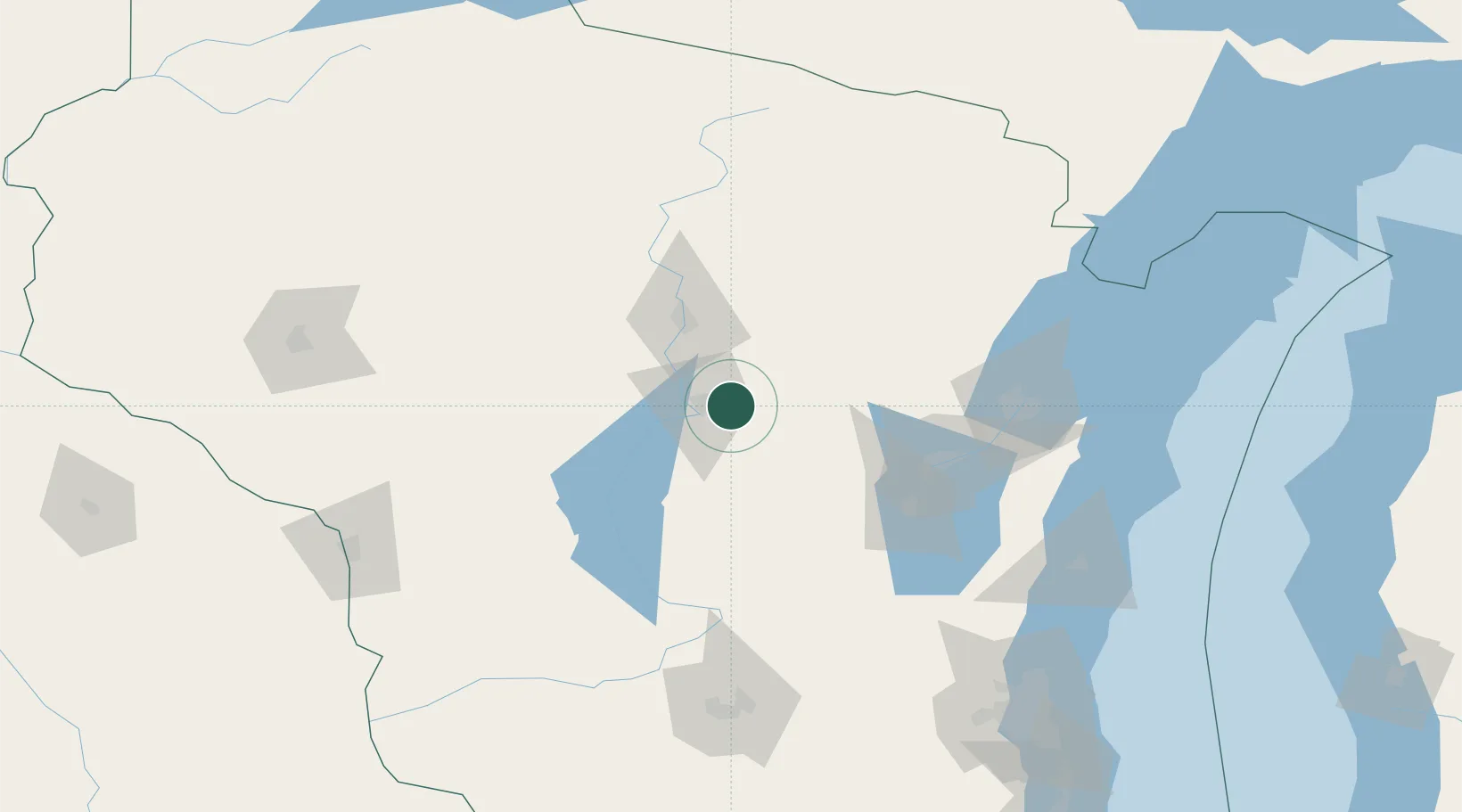
Nearby Logistics Neighbours

Cities
  1. 1Amherst13 km
  2. 2King29 km
  3. 3Waupaca32 km
  4. 4Milladore36 km
  5. 5Mosinee37 km
Nearest neighbours — logibook spatial index (haversine) over the source coordinates
Ports
  1. 1Kaukauna95 km
  2. 2Green Bay111 km
  3. 3Oconto132 km
  4. 4Manitowoc148 km
  5. 5Kewaunee152 km
Nearest neighbours — logibook spatial index (haversine) over the source coordinates
Airports
  1. 1Central Wisconsin Airport35 km
  2. 2Wausau Downtown Airport49 km
  3. 3Appleton International Airport77 km
  4. 4Wittman Regional Airport91 km
  5. 5Volk Field93 km
Nearest neighbours — logibook spatial index (haversine) over the source coordinates
Trade Zones
  1. 1FTZ No. 167 Brown County90 km
  2. 2FTZ No. 266 Dane County163 km
  3. 3FTZ No. 041 Milwaukee193 km
  4. 4FTZ No. 176 Rockford252 km
  5. 5FTZ No. 019 Omaha253 km
Nearest neighbours — logibook spatial index (haversine) over the source coordinates
DatabookThe Record of Consolidated Knowledge
United States beyond logistics?
Browse databook

All Sources

LocationsUN/LOCODE
UN/LOCODE — free
Portsthe NGA World Port Index
Public domain (US gov)
AirportsOurAirports
Public domain
Trade Zonesthe World Bank SEZ database
CC BY 4.0
Trade ZonesOpen Zone Map
CC BY
← United States locations