UN/LOCODE hub · United States
USRSY
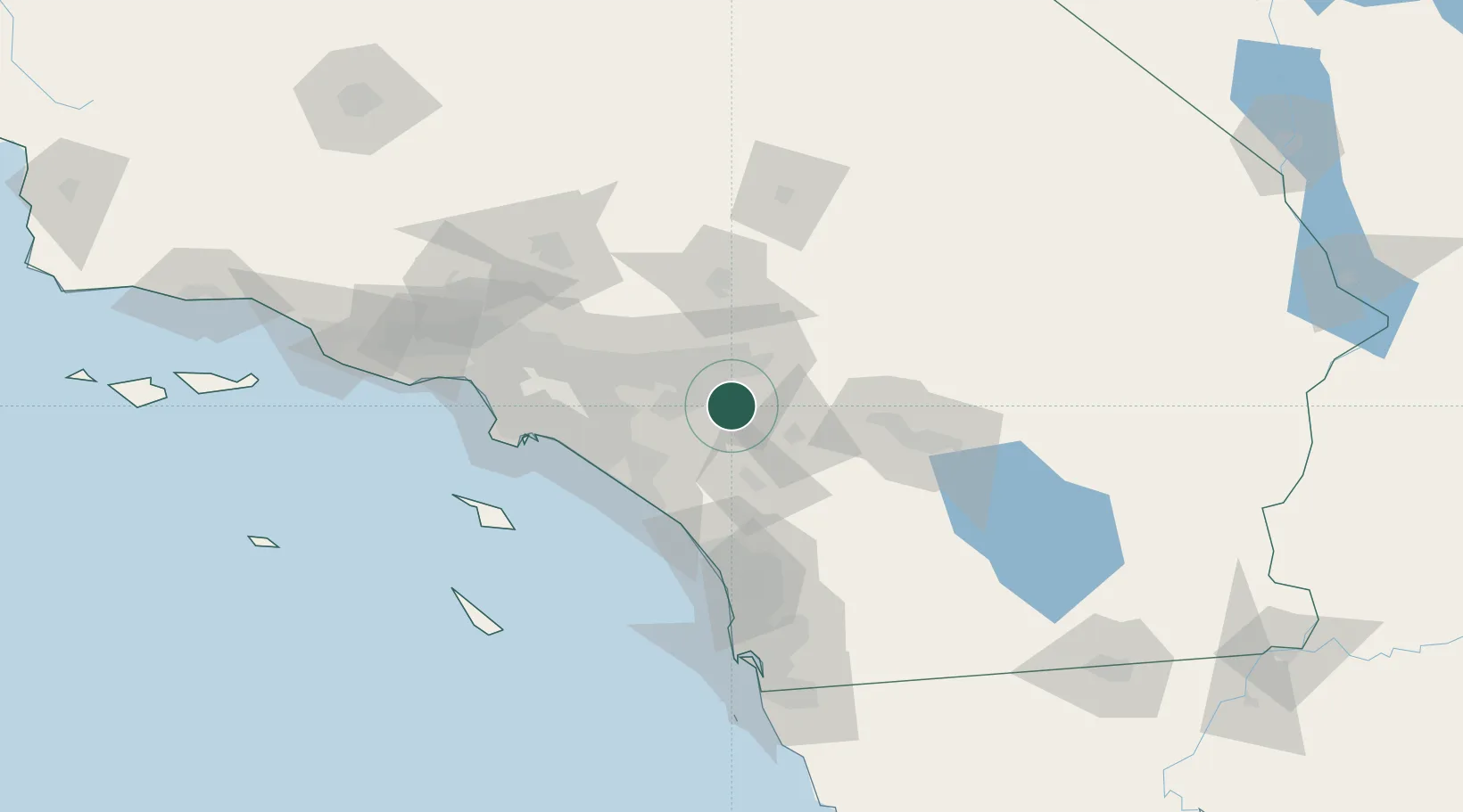
March Air Reserve Base
33.9000°, -117.2667°
2
Transport functions
Transport Functions
Rail
Road
Hub Profile
Region
CA
Location
Nearby Logistics Neighbours
Cities
- 1Moreno Valley4 km
- 2Grand Terrace15 km
- 3Rubidoux15 km
- 4Loma Linda17 km
- 5Romoland21 km
Ports
- 1Newport Beach67 km
- 2Long Beach86 km
- 3Los Angeles92 km
- 4El Segundo108 km
- 5Avalon115 km
Airports
Trade Zones
DatabookThe Record of Consolidated Knowledge
United States beyond logistics?