UN/LOCODE hub · United States
USXRL
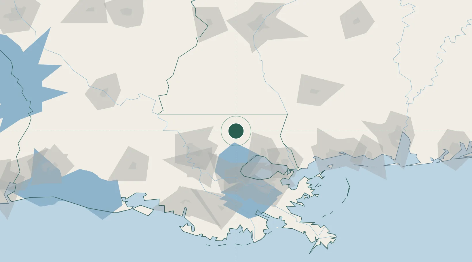
Roseland
30.7500°, -90.5000°
1,203
Population
3
Transport functions
Transport Functions
Rail
Road
Multimodal
Hub Profile
Place type
Populated place
Region
Louisiana
Population
1,203
Time zone
America/Chicago
Elevation
40 m
Location
Nearby Logistics Neighbours
Cities
- 1Independence13 km
- 2Holden32 km
- 3Bluff Creek33 km
- 4Franklinton35 km
- 5Magnolia45 km
Ports
- 1Madisonville51 km
- 2Baton Rouge73 km
- 3Reserve78 km
- 4Slidell87 km
- 5Convent88 km
Airports
Trade Zones
DatabookThe Record of Consolidated Knowledge
United States beyond logistics?