UN/LOCODE hub · United States
USFKB
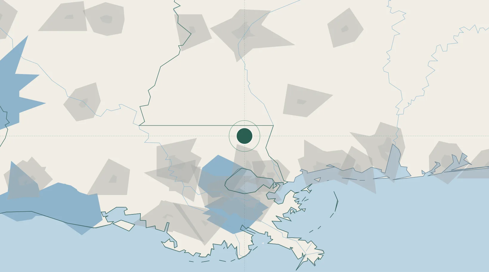
Franklinton
30.8500°, -90.1500°
3,782
Population
3
Transport functions
Transport Functions
Rail
Road
Multimodal
Hub Profile
Place type
Provincial seat
Region
Louisiana
Population
3,782
Time zone
America/Chicago
Elevation
47 m
Location
Nearby Logistics Neighbours
Cities
- 1Tylertown30 km
- 2Roseland35 km
- 3Bush37 km
- 4Independence41 km
- 5Covington43 km
Ports
- 1Madisonville50 km
- 2Slidell74 km
- 3Reserve97 km
- 4New Orleans101 km
- 5St Rose101 km
Airports
Trade Zones
- 1FTZ No. 002 New Orleans102 km
- 2FTZ No. 124 Gramercy103 km
- 3FTZ No. 154 Baton Rouge115 km
- 4FTZ No. 155 Calhoun Victoria Counties115 km
- 5FTZ No. 092 Harrison County123 km
DatabookThe Record of Consolidated Knowledge
United States beyond logistics?