UN/LOCODE hub · United States
USBC2

Bluff Creek

30.7500°, -90.8500°
2
Transport functions

Transport Functions

Road
Multimodal
UN/LOCODE

Hub Profile

Place type
Populated place
GeoNames
Region
Louisiana
GeoNames
Time zone
America/Chicago
GeoNames
Elevation
38 m
GeoNames

Location

Location of USBC2
Natural Earth 10m (public domain) · Louisiana · USBC2 · 30.75, -90.85GoogleOSMYandex

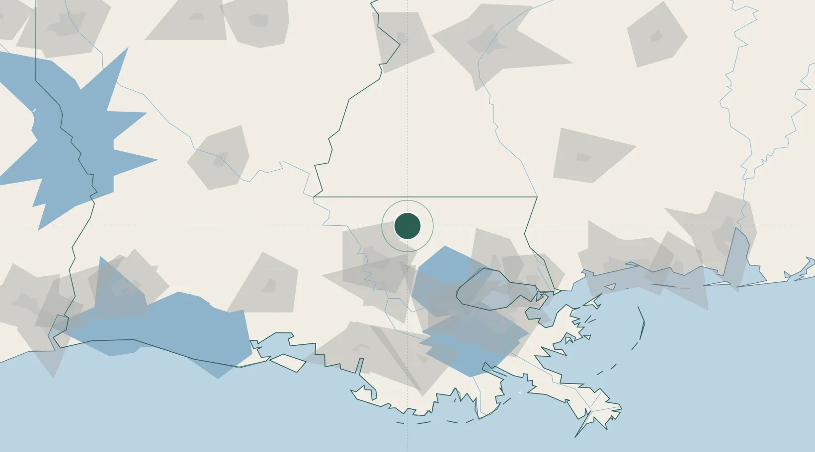
Nearby Logistics Neighbours

Cities
  1. 1Clinton18 km
  2. 2Slaughter27 km
  3. 3Walker, Livingston30 km
  4. 4Holden33 km
  5. 5Roseland33 km
Nearest neighbours — logibook spatial index (haversine) over the source coordinates
Ports
  1. 1Baton Rouge46 km
  2. 2Madisonville78 km
  3. 3Convent82 km
  4. 4Reserve83 km
  5. 5St. James86 km
Nearest neighbours — logibook spatial index (haversine) over the source coordinates
Airports
  1. 1Baton Rouge Metropolitan Airport38 km
  2. 2McComb-Pike County Airport / John E Lewis Field60 km
  3. 3Louis Armstrong New Orleans International Airport101 km
  4. 4Lakefront Airport111 km
  5. 5Lafayette Regional Airport125 km
Nearest neighbours — logibook spatial index (haversine) over the source coordinates
Trade Zones
  1. 1FTZ No. 154 Baton Rouge52 km
  2. 2FTZ No. 155 Calhoun Victoria Counties52 km
  3. 3FTZ No. 124 Gramercy78 km
  4. 4FTZ No. 002 New Orleans118 km
  5. 5FTZ No. 279 Terrebonne Parish155 km
Nearest neighbours — logibook spatial index (haversine) over the source coordinates
DatabookThe Record of Consolidated Knowledge
United States beyond logistics?
Browse databook

All Sources

LocationsUN/LOCODE
UN/LOCODE — free
Portsthe NGA World Port Index
Public domain (US gov)
AirportsOurAirports
Public domain
Trade Zonesthe World Bank SEZ database
CC BY 4.0
Trade ZonesOpen Zone Map
CC BY
← United States locations