UN/LOCODE hub · United States
USMN8
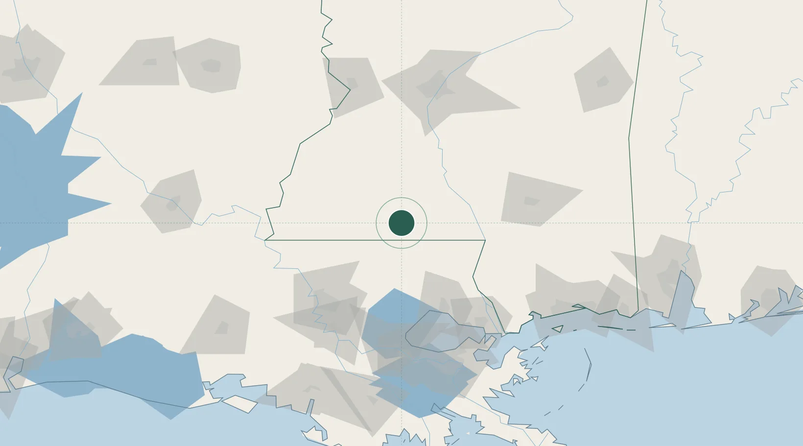
Magnolia
31.1500°, -90.4667°
2,371
Population
3
Transport functions
Transport Functions
Rail
Road
Multimodal
Hub Profile
Place type
Provincial seat
Region
Mississippi
Population
2,371
Time zone
America/Chicago
Elevation
93 m
Location
Nearby Logistics Neighbours
Cities
- 1McComb9 km
- 2Tylertown30 km
- 3Roseland45 km
- 4Franklinton45 km
- 5Independence58 km
Ports
- 1Madisonville89 km
- 2Baton Rouge104 km
- 3Slidell118 km
- 4Reserve123 km
- 5Convent131 km
Airports
Trade Zones
- 1FTZ No. 154 Baton Rouge109 km
- 2FTZ No. 155 Calhoun Victoria Counties109 km
- 3FTZ No. 124 Gramercy124 km
- 4FTZ No. 158 Vicksburg Jackson134 km
- 5FTZ No. 002 New Orleans140 km
DatabookThe Record of Consolidated Knowledge
United States beyond logistics?