Transport Functions
Multimodal
Hub Profile
Place type
Populated place
Region
Louisiana
Time zone
America/Chicago
Elevation
12 m
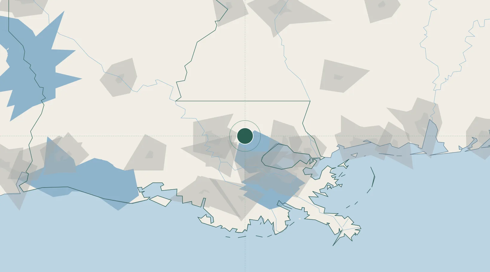
Location
Nearby Logistics Neighbours
Cities
- 1Walker, Livingston19 km
- 2Independence22 km
- 3Roseland32 km
- 4Bluff Creek33 km
- 5Saint Amant37 km
Ports
- 1Baton Rouge50 km
- 2Madisonville51 km
- 3Reserve51 km
- 4Convent56 km
- 5St. James60 km
Airports
Trade Zones
DatabookThe Record of Consolidated Knowledge
United States beyond logistics?