Transport Functions
Rail
Road
Multimodal
Hub Profile
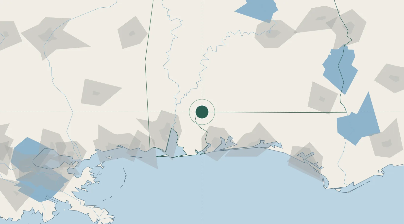
Place type
Populated place
Region
Alabama
Population
10,049
Time zone
America/Chicago
Elevation
87 m
Location
Nearby Logistics Neighbours
Cities
- 1Flomaton22 km
- 2Uriah32 km
- 3Cantonment53 km
- 4Perdue Hill55 km
- 5Robertsdale56 km
Ports
- 1Mobile70 km
- 2Pensacola74 km
- 3Pascagoula126 km
- 4Biloxi150 km
- 5Gulfport169 km
Airports
Trade Zones
- 1FTZ No. 082 Mobile67 km
- 2FTZ No. 249 Pensacola68 km
- 3FTZ No. 092 Harrison County156 km
- 4FTZ No. 222 Montgomery188 km
- 5FTZ No. 065 Panama City191 km
DatabookThe Record of Consolidated Knowledge
United States beyond logistics?