Large airport · Canada
Victoria International AirportCYYJ
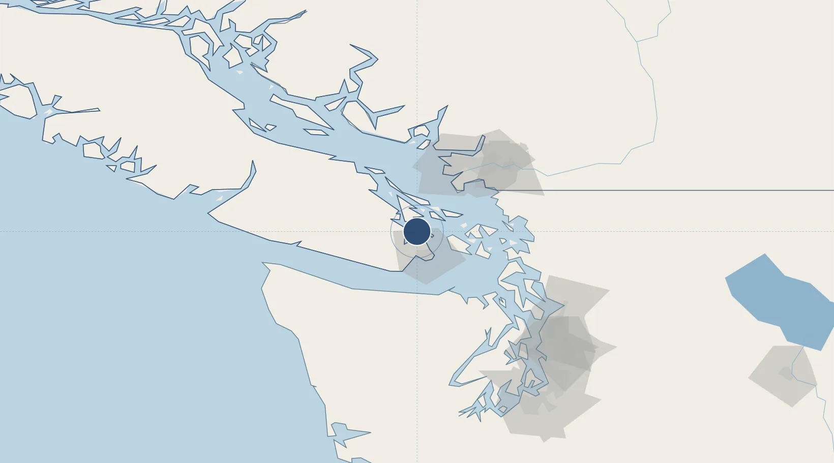
48.6472°, -123.4278°
7,000 ft
Longest runway
3
Runways
63 ft
Elevation
Runway & Layout

Radio Frequencies
ATIS
118.8 MHz
TWR
119.1 MHz
Victoria Tower (outer unless closed by ATIS)
TWR
119.7 MHz
Victoria Tower (inner)
GND
121.9 MHz
CLD
126.4 MHz
CLNC DEL
DEP
133.85 MHz
Victoria Departures
ARR
125.95 MHz
Victoria Arrivals
MF
119.7 MHz
Kamloops Radio, 08-14Z, 7nm below 2500ASL
MIL
349.3 MHz
Stinger ops, 443 Squadron
PVT ADV
122.85 MHz
Shell
PVT ADV
122.95 MHz
ESSO
RCO
119.7 MHz
Kamloops Radio (RAAS), 08-14Z
RCO
122.375 MHz
Pacific Radio (FISE)
TML
127.8 MHz
Victoria Terminal
Navaids
MB NDB Mill Bay 293 kHz
YJ NDB Victoria 200 kHz
YYJ VOR-DME Victoria 113.70 MHz
Runways · 3
| Runway | Dimensions | Surface | True heading | Lit |
|---|---|---|---|---|
| 09/27 | 7,000 × 200ft | Asphalt | 105° | ✓ |
| 03/21 | 5,027 × 200ft | Asphalt | 044° | ✓ |
| 14/32 | 5,001 × 200ft | Asphalt | 152° | ✓ |
Airport Specifications
IATA code
YYJ
ICAO code
CYYJ
Airport class
Large airport
Scheduled service
Yes
Runway surface
Asphalt
Served city
Victoria
Location
Nearby Logistics Neighbours
Airports
Cities
- 1Brentwood Bay7 km
- 2Cobble Hill13 km
- 3Victoria25 km
- 4Duncan/Quam26 km
- 5Mengkofen32 km
Ports
- 1Sidney3 km
- 2Bamberton13 km
- 3Cowichan Bay18 km
- 4Roche Harbor20 km
- 5Ganges23 km
Trade Zones
- 1FTZ No. 129 Bellingham67 km
- 2FTZ No. 128 Whatcom County67 km
- 3FTZ Vancouver Island70 km
- 4FTZ No. 085 Everett115 km
- 5FTZ No. 005 Seattle135 km
DatabookThe Record of Consolidated Knowledge
Canada beyond logistics?