Transport Functions
Port
Rail
Road
Multimodal
Hub Profile
Place type
Populated place
Region
South Carolina
Population
191
Time zone
America/New_York
Elevation
234 m
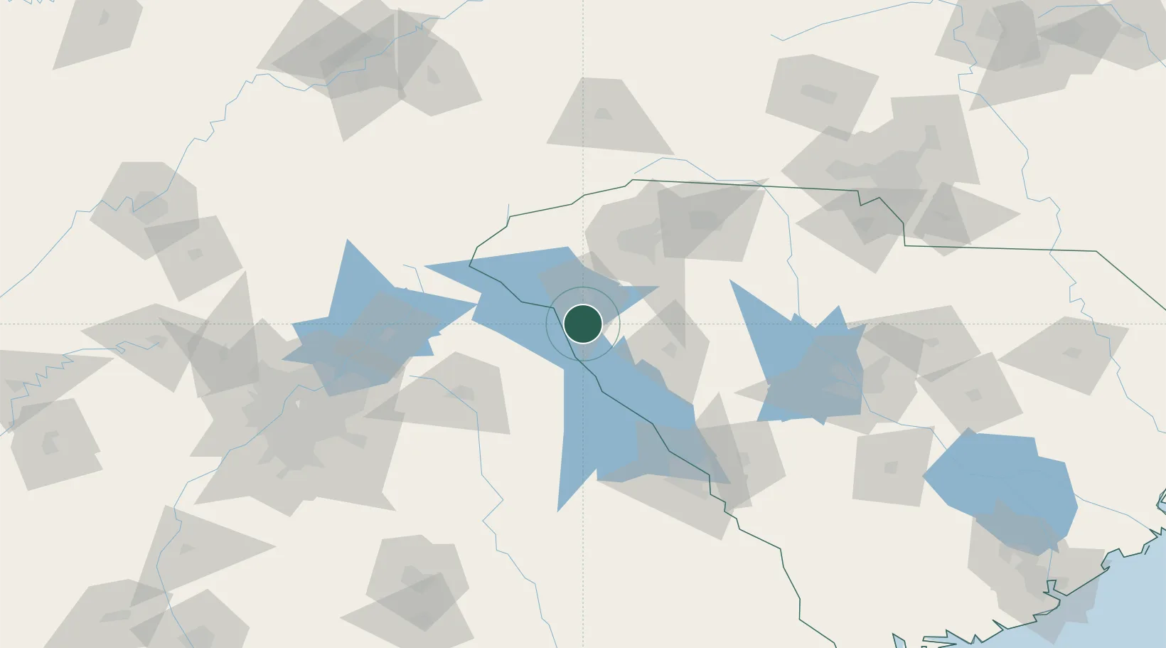
Location
Nearby Logistics Neighbours
Cities
- 1Iva8 km
- 2Belton25 km
- 3Sandy Springs25 km
- 4Honea Path29 km
- 5Donalds32 km
Ports
- 1Beaufort285 km
- 2Port Royal290 km
- 3Savannah294 km
- 4Charleston311 km
- 5Georgetown333 km
Airports
Trade Zones
- 1FTZ No. 038 Spartanburg County70 km
- 2FTZ No. 127 West Columbia149 km
- 3FTZ No. 026 Atlanta171 km
- 4FTZ No. 057 Mecklenburg County176 km
- 5FTZ No. 148 Knoxville228 km
DatabookThe Record of Consolidated Knowledge
United States beyond logistics?