UN/LOCODE hub · United States
USOEP
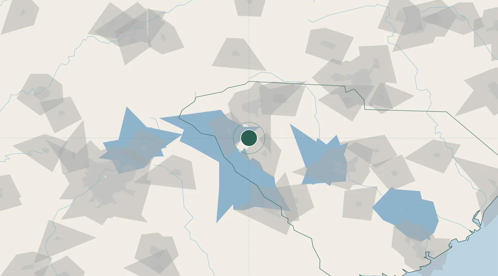
Honea Path
34.4333°, -82.3833°
3,707
Population
3
Transport functions
Transport Functions
Rail
Road
Multimodal
Hub Profile
Place type
Populated place
Region
South Carolina
Population
3,707
Time zone
America/New_York
Elevation
241 m
Location
Nearby Logistics Neighbours
Cities
- 1Donalds9 km
- 2Belton13 km
- 3Ware Shoals15 km
- 4Hodges21 km
- 5Starr29 km
Ports
- 1Beaufort274 km
- 2Port Royal279 km
- 3Savannah288 km
- 4Charleston293 km
- 5Georgetown310 km
Airports
Trade Zones
- 1FTZ No. 038 Spartanburg County52 km
- 2FTZ No. 127 West Columbia125 km
- 3FTZ No. 057 Mecklenburg County150 km
- 4FTZ No. 026 Atlanta199 km
- 5FTZ No. 021 Dorchester County216 km
DatabookThe Record of Consolidated Knowledge
United States beyond logistics?