Transport Functions
Rail
Road
Multimodal
Hub Profile
Place type
Populated place
Region
South Carolina
Population
1,278
Time zone
America/New_York
Elevation
217 m
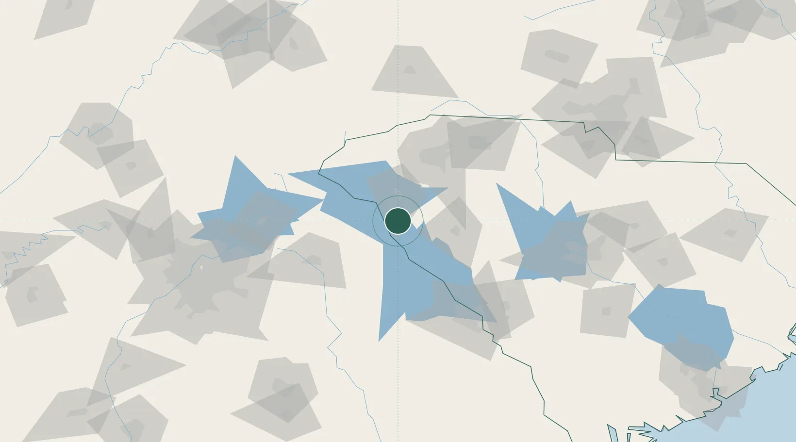
Location
Nearby Logistics Neighbours
Cities
- 1Starr8 km
- 2Calhoun Falls25 km
- 3Belton29 km
- 4Honea Path30 km
- 5Dewy Rose30 km
Ports
- 1Beaufort279 km
- 2Port Royal283 km
- 3Savannah287 km
- 4Charleston306 km
- 5Georgetown329 km
Airports
Trade Zones
- 1FTZ No. 038 Spartanburg County76 km
- 2FTZ No. 127 West Columbia146 km
- 3FTZ No. 026 Atlanta170 km
- 4FTZ No. 057 Mecklenburg County180 km
- 5FTZ No. 021 Dorchester County226 km
DatabookThe Record of Consolidated Knowledge
United States beyond logistics?