Transport Functions
Rail
Road
Multimodal
Hub Profile
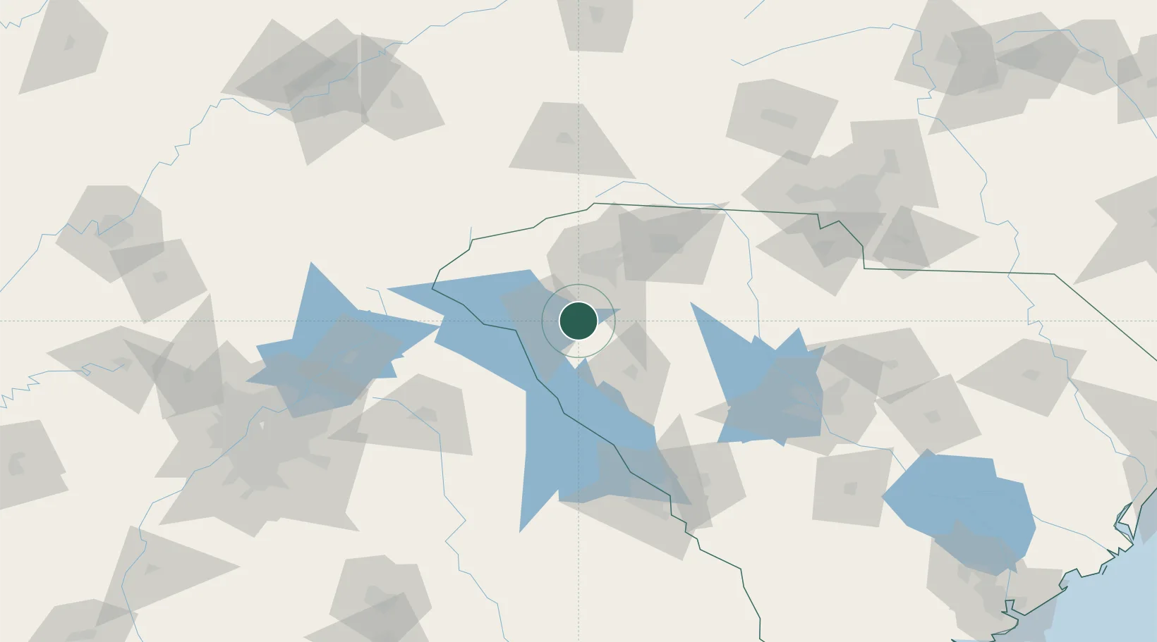
Place type
Populated place
Region
South Carolina
Population
4,336
Time zone
America/New_York
Elevation
275 m
Location
Nearby Logistics Neighbours
Cities
- 1Honea Path13 km
- 2Donalds22 km
- 3Starr25 km
- 4Sandy Springs26 km
- 5Conestee26 km
Ports
- 1Beaufort286 km
- 2Port Royal292 km
- 3Savannah300 km
- 4Charleston306 km
- 5Georgetown322 km
Airports
Trade Zones
- 1FTZ No. 038 Spartanburg County47 km
- 2FTZ No. 127 West Columbia138 km
- 3FTZ No. 057 Mecklenburg County152 km
- 4FTZ No. 026 Atlanta195 km
- 5FTZ No. 204 Tri-Cities219 km
DatabookThe Record of Consolidated Knowledge
United States beyond logistics?