Medium airport · United States
Greenville-Spartanburg International AirportKGSP
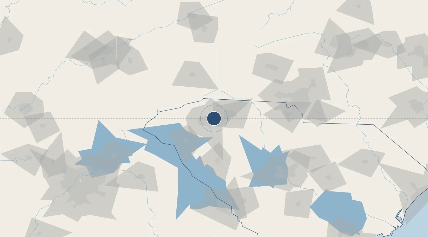
34.8957°, -82.2189°
11,001 ft
Longest runway
1
Runways
964 ft
Elevation
Runway & Layout

Radio Frequencies
ATIS
134.25 MHz
TWR
120.1 MHz
GREER TWR
GND
121.9 MHz
GREER GND
CTAF
120.1 MHz
A/D
120.6 MHz
GREER APP/DEP
UNIC
122.95 MHz
UNICOM
Navaids
GS NDB Greer 287 kHz
Runways · 1
| Runway | Dimensions | Surface | True heading | Lit |
|---|---|---|---|---|
| 04/22 | 11,001 × 150ft | Asphalt / concrete | 032° | ✓ |
Airport Specifications
IATA code
GSP
ICAO code
KGSP
Airport class
Medium airport
Scheduled service
Yes
Runway surface
Asphalt / concrete
Served city
Greenville/Greer/Spartanburg
Location
Nearby Logistics Neighbours
Airports
Cities
- 1Greenville3 km
- 2Greenville-Greer Apt8 km
- 3Conestee23 km
- 4Woodruff25 km
- 5Slater28 km
Ports
- 1Beaufort309 km
- 2Port Royal315 km
- 3Charleston317 km
- 4Georgetown319 km
- 5Savannah330 km
Trade Zones
- 1FTZ No. 038 Spartanburg County3 km
- 2FTZ No. 057 Mecklenburg County111 km
- 3FTZ No. 127 West Columbia142 km
- 4FTZ No. 204 Tri-Cities177 km
- 5FTZ No. 148 Knoxville219 km
DatabookThe Record of Consolidated Knowledge
United States beyond logistics?