Transport Functions
Rail
Road
Hub Profile
Place type
Populated place
Region
South Carolina
Population
343
Time zone
America/New_York
Elevation
232 m
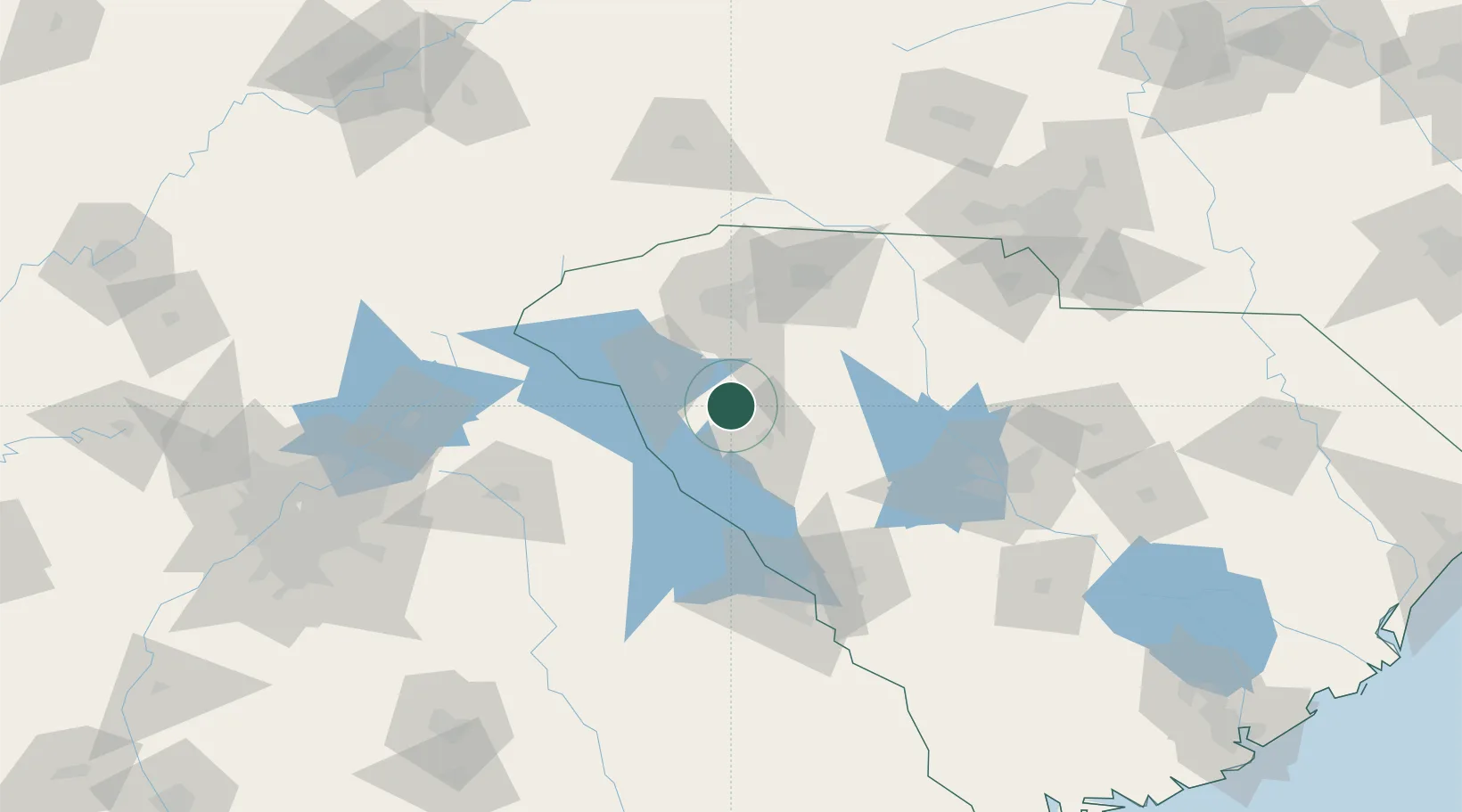
Location
Nearby Logistics Neighbours
Cities
- 1Honea Path9 km
- 2Ware Shoals9 km
- 3Hodges12 km
- 4Belton22 km
- 5Iva32 km
Ports
- 1Beaufort265 km
- 2Port Royal270 km
- 3Savannah279 km
- 4Charleston285 km
- 5Georgetown303 km
Airports
Trade Zones
- 1FTZ No. 038 Spartanburg County59 km
- 2FTZ No. 127 West Columbia119 km
- 3FTZ No. 057 Mecklenburg County151 km
- 4FTZ No. 026 Atlanta201 km
- 5FTZ No. 021 Dorchester County207 km
DatabookThe Record of Consolidated Knowledge
United States beyond logistics?