Transport Functions
Rail
Road
Multimodal
Hub Profile
Place type
Populated place
Region
South Carolina
Time zone
America/New_York
Elevation
243 m
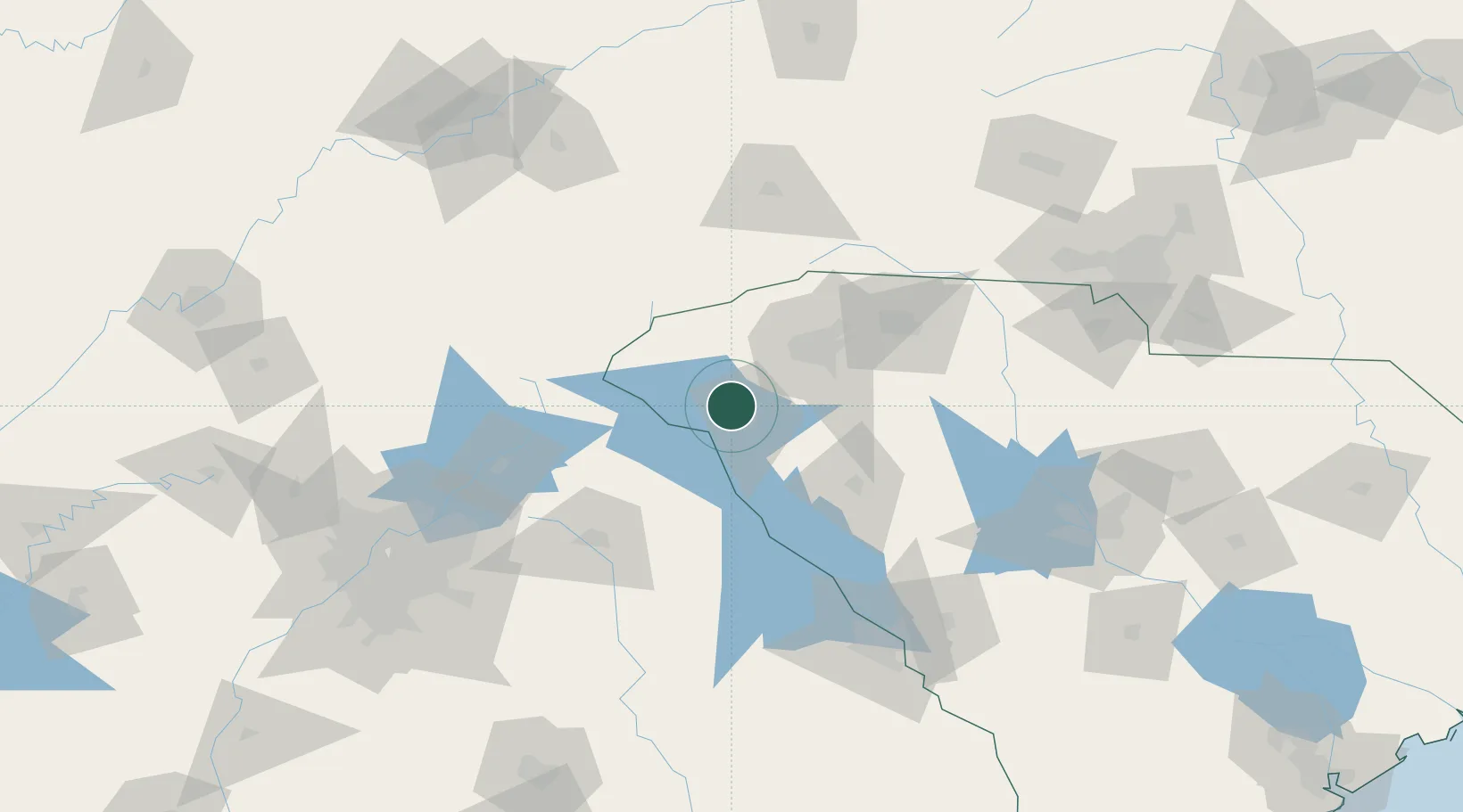
Location
Nearby Logistics Neighbours
Cities
- 1Starr25 km
- 2Belton26 km
- 3West Union32 km
- 4Iva32 km
- 5Lavonia36 km
Ports
- 1Beaufort307 km
- 2Port Royal312 km
- 3Savannah318 km
- 4Charleston330 km
- 5Georgetown347 km
Airports
Trade Zones
- 1FTZ No. 038 Spartanburg County57 km
- 2FTZ No. 127 West Columbia163 km
- 3FTZ No. 057 Mecklenburg County169 km
- 4FTZ No. 026 Atlanta176 km
- 5FTZ No. 148 Knoxville206 km
DatabookThe Record of Consolidated Knowledge
United States beyond logistics?