Foreign Trade Zone · United States

FTZ No. 148 Knoxville Active
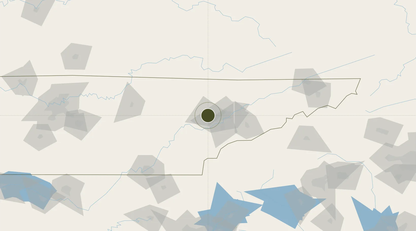
35.9884°, -84.2262°
513.1 km
Nearest port
28.7 km
Nearest airport

Gateway access

Nearest neighbours — logibook spatial index (haversine) over the source coordinates

Zone profile

Zone type
Foreign Trade Zone
Open Zone Map
Region
Tennessee
Open Zone Map
Status
Active
Open Zone Map
Management
Public
Open Zone Map
Operator
Industrial Development Board of Blount County and the Cities of Alcoa and Maryville
Open Zone Map
Legal framework
Foreign-Trade Zones Act
Open Zone Map

Location

Location of ozm-4859
Natural Earth 10m (public domain) · Tennessee · ozm-4859 · 35.99, -84.23GoogleOSMYandex

Nearby Logistics Neighbours

Ports
  1. 1Beaufort513 km
  2. 2Port Royal518 km
  3. 3Savannah522 km
  4. 4Darien575 km
  5. 5Brunswick594 km
Nearest neighbours — logibook spatial index (haversine) over the source coordinates
Airports
  1. 1McGhee Tyson Airport29 km
  2. 2Crossville Memorial Airport Whitson Field77 km
  3. 3Western Carolina Regional Airport94 km
  4. 4London-Corbin Airport/Magee Field122 km
  5. 5Lake Cumberland Regional Airport123 km
Nearest neighbours — logibook spatial index (haversine) over the source coordinates
Cities
  1. 1Coalfield17 km
  2. 2Powell19 km
  3. 3Lake City25 km
  4. 4Arlington, Knox25 km
  5. 5Friendsville28 km
Nearest neighbours — logibook spatial index (haversine) over the source coordinates
Trade Zones
  1. 1FTZ No. 134 Chattanooga144 km
  2. 2FTZ No. 204 Tri-Cities172 km
  3. 3FTZ No. 038 Spartanburg County217 km
  4. 4FTZ No. 026 Atlanta248 km
  5. 5FTZ No. 078 Nashville256 km
Nearest neighbours — logibook spatial index (haversine) over the source coordinates
DatabookThe Record of Consolidated Knowledge
United States beyond logistics?
Browse databook

All Sources

Trade ZonesOpen Zone Map
CC BY
Portsthe NGA World Port Index
Public domain (US gov)
AirportsOurAirports
Public domain
LocationsUN/LOCODE
UN/LOCODE — free
← United States trade zones