Transport Functions
Port
Rail
Road
Hub Profile
Place type
Provincial seat
Region
Wisconsin
Population
748
Time zone
America/Chicago
Elevation
207 m
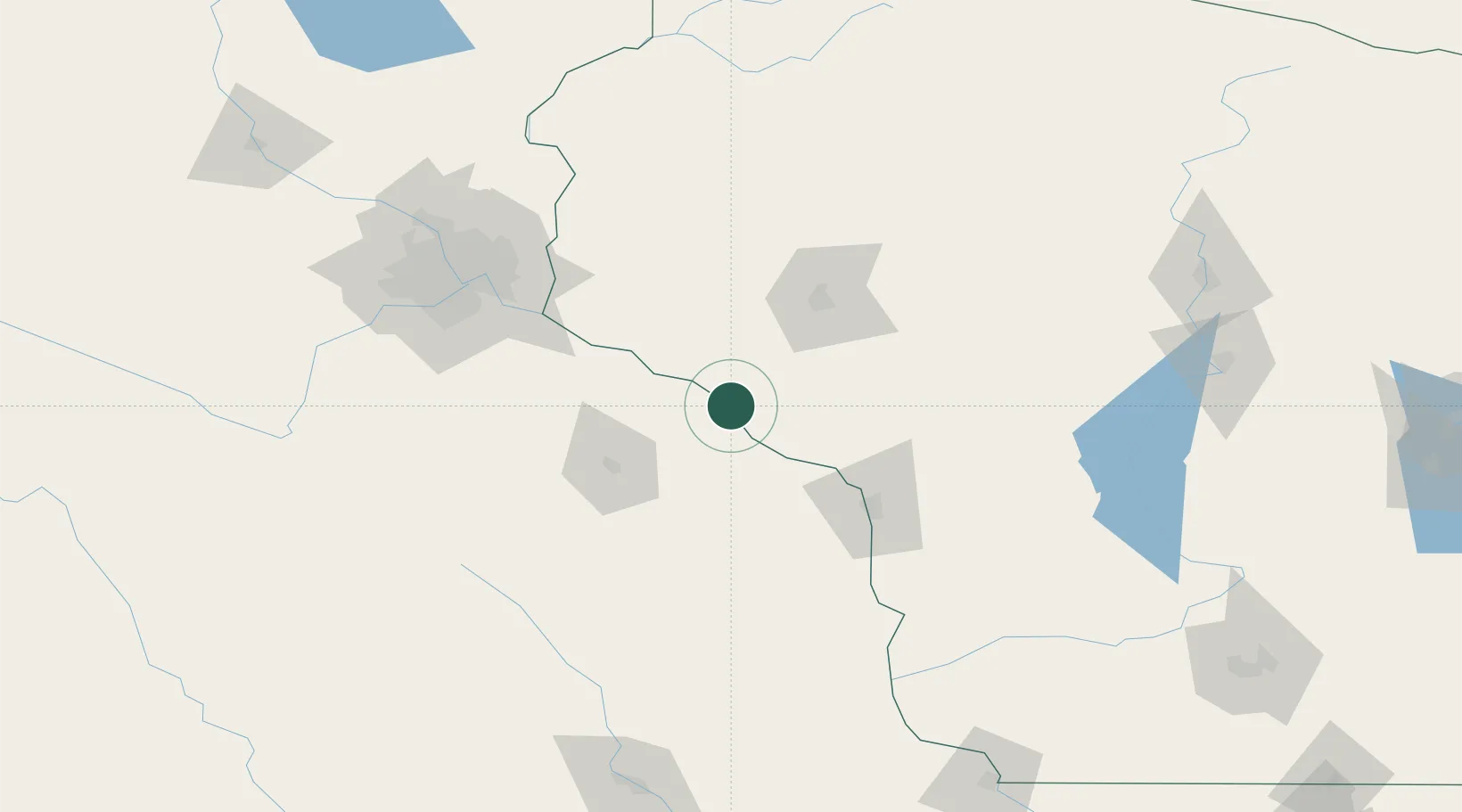
Location
Nearby Logistics Neighbours
Cities
- 1Nelson13 km
- 2Lake City30 km
- 3Trempealeau32 km
- 4Mondovi34 km
- 5Winona37 km
Airports
Trade Zones
- 1FTZ No. 119 Minneapolis-St. Paul127 km
- 2FTZ No. 266 Dane County226 km
- 3FTZ No. 271 Jo-Daviess and Carroll Counties261 km
- 4FTZ No. 175 Cedar Rapids262 km
- 5FTZ No. 051 Duluth274 km
DatabookThe Record of Consolidated Knowledge
United States beyond logistics?