Transport Functions
Road
Multimodal
Hub Profile
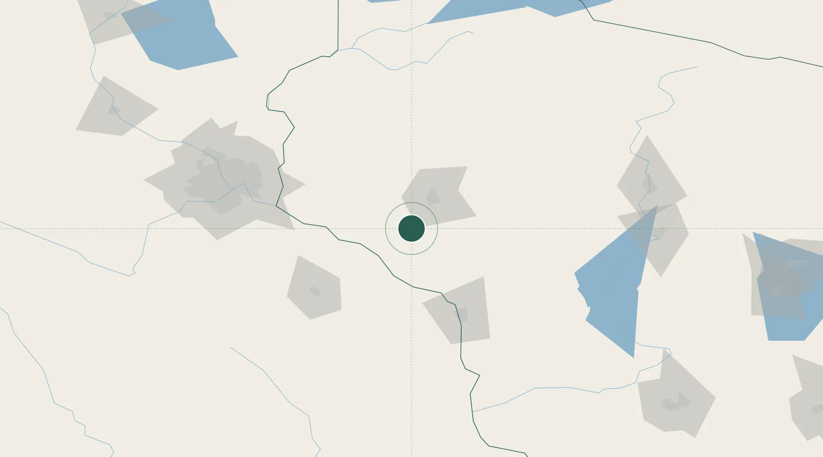
Place type
Populated place
Region
Wisconsin
Population
2,654
Time zone
America/Chicago
Elevation
245 m
Location
Nearby Logistics Neighbours
Cities
- 1Trempealeau29 km
- 2Nelson31 km
- 3Alma34 km
- 4Augusta45 km
- 5Lake City49 km
Airports
Trade Zones
- 1FTZ No. 119 Minneapolis-St. Paul132 km
- 2FTZ No. 266 Dane County229 km
- 3FTZ No. 051 Duluth249 km
- 4FTZ No. 167 Brown County268 km
- 5FTZ No. 271 Jo-Daviess and Carroll Counties276 km
DatabookThe Record of Consolidated Knowledge
United States beyond logistics?