Medium airport · United States
Saint Paul Downtown Holman FieldKSTP
44.9348°, -93.0600°
6,491 ft
Longest runway
3
Runways
705 ft
Elevation
Runway & Layout

Radio Frequencies
ATIS
118.35 MHz
TWR
119.1 MHz
CTAF
119.1 MHz
A/D
121.2 MHz
MINNEAPOLIS APP/DEP
GCCD
121.675 MHz
GND/CLNC DEL
OPS
41.4 MHz
ARNG OPS
UNIC
122.95 MHz
UNICOM
Navaids
BA NDB Babco 385 kHz
PPI NDB Hopey 400 kHz
Runways · 3
| Runway | Dimensions | Surface | True heading | Lit |
|---|---|---|---|---|
| 14/32 | 6,491 × 150ft | Asphalt | 146° | ✓ |
| 13/31 | 4,004 × 150ft | Asphalt | 128° | ✓ |
| 09/27 | 3,642 × 100ft | Asphalt | 091° | ✓ |
Airport Specifications
IATA code
STP
ICAO code
KSTP
Airport class
Medium airport
Scheduled service
No
Runway surface
Asphalt
Served city
Saint Paul
Location
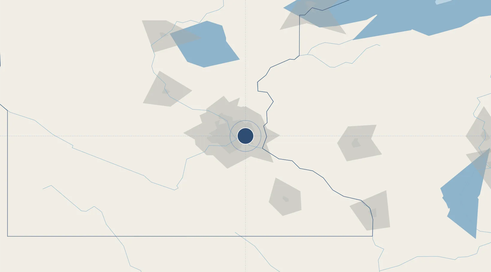
Nearby Logistics Neighbours
Airports
Cities
- 1Dawson4 km
- 2West Saint Paul4 km
- 3South Saint Paul6 km
- 4Mendota Heights8 km
- 5Fort Snelling9 km
Ports
- 1Superior214 km
- 2Duluth217 km
- 3Ashland251 km
- 4Two Harbors256 km
- 5Washburn256 km
Trade Zones
- 1FTZ No. 119 Minneapolis-St. Paul14 km
- 2FTZ No. 051 Duluth213 km
- 3FTZ No. 288 Northwest Iowa311 km
- 4FTZ No. 220 Sioux Falls335 km
- 5FTZ No. 266 Dane County339 km
DatabookThe Record of Consolidated Knowledge
United States beyond logistics?