Transport Functions
Rail
Road
Multimodal
Hub Profile
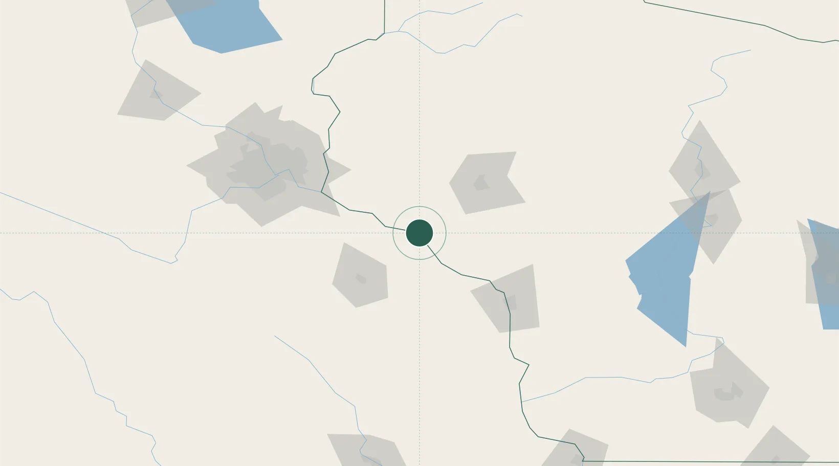
Place type
Populated place
Region
Wisconsin
Population
352
Time zone
America/Chicago
Elevation
211 m
Location
Nearby Logistics Neighbours
Cities
- 1Alma13 km
- 2Lake City20 km
- 3Mondovi31 km
- 4Trempealeau40 km
- 5Bay City41 km
Airports
Trade Zones
- 1FTZ No. 119 Minneapolis-St. Paul116 km
- 2FTZ No. 266 Dane County238 km
- 3FTZ No. 051 Duluth262 km
- 4FTZ No. 175 Cedar Rapids273 km
- 5FTZ No. 271 Jo-Daviess and Carroll Counties274 km
DatabookThe Record of Consolidated Knowledge
United States beyond logistics?