Medium airport · United States

New Richmond Regional AirportKRNH
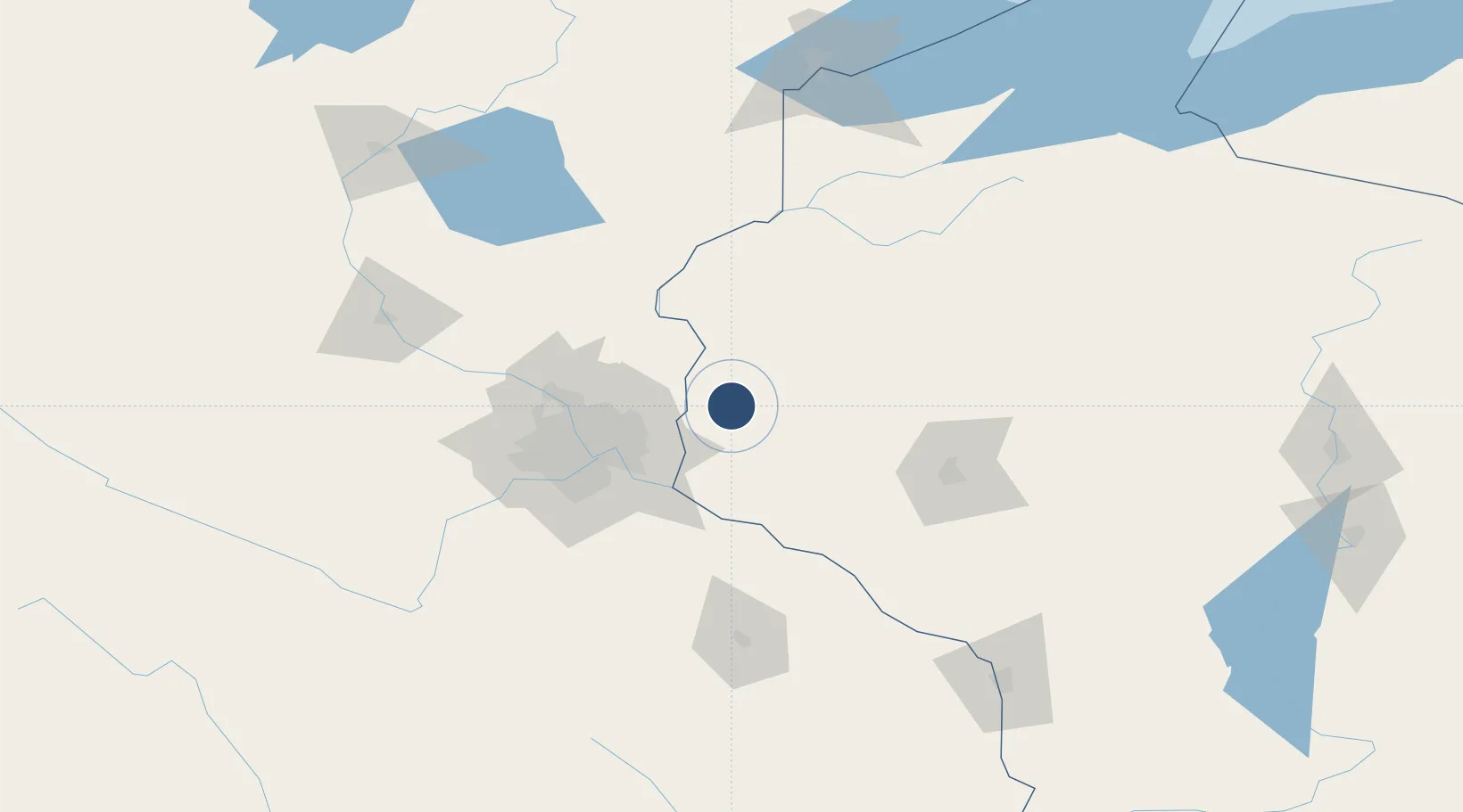
45.1483°, -92.5381°
5,507 ft
Longest runway
2
Runways
998 ft
Elevation

Runway & Layout

New Richmond Regional Airport runway & taxiway layout
Runway & taxiway layout — OpenStreetMap (ODbL) / OurAirports

Radio Frequencies

ASOS
120 MHz
AWOS 3
A/D
121.2 MHz
MINNEAPOLIS APP/DEP
UNIC
122.975 MHz
CTAF/UNICOM
OurAirports

Runways · 2

RunwayDimensions SurfaceTrue headingLit
14/32 5,507 × 75ft Asphalt 143°
04/22 2,006 × 75ft Grass 045°
OurAirports

Airport Specifications

IATA code
RNH
OurAirports
ICAO code
KRNH
OurAirports
Airport class
Medium airport
OurAirports
Scheduled service
No
OurAirports
Runway surface
Asphalt
OurAirports
Served city
New Richmond
OurAirports

Location

Location of KRNH
Natural Earth 10m (public domain) · Wisconsin · KRNH · 45.15, -92.54GoogleOSMYandex

Nearby Logistics Neighbours

Airports
  1. 1Saint Paul Downtown Holman Field47 km
  2. 2Minneapolis–Saint Paul International Airport / Wold–Chamberlain Field62 km
  3. 3Chippewa Valley Regional Airport89 km
  4. 4Saint Cloud Regional Airport127 km
  5. 5Sawyer County Airport129 km
Nearest neighbours — logibook spatial index (haversine) over the source coordinates
Cities
  1. 1Somerset11 km
  2. 2Roberts18 km
  3. 3Hammond22 km
  4. 4Oak Park Heights23 km
  5. 5Stillwater23 km
Nearest neighbours — logibook spatial index (haversine) over the source coordinates
Ports
  1. 1Superior180 km
  2. 2Duluth183 km
  3. 3Ashland207 km
  4. 4Washburn212 km
  5. 5Two Harbors219 km
Nearest neighbours — logibook spatial index (haversine) over the source coordinates
Trade Zones
  1. 1FTZ No. 119 Minneapolis-St. Paul58 km
  2. 2FTZ No. 051 Duluth181 km
  3. 3FTZ No. 266 Dane County323 km
  4. 4FTZ No. 167 Brown County344 km
  5. 5FTZ No. 288 Northwest Iowa358 km
Nearest neighbours — logibook spatial index (haversine) over the source coordinates
DatabookThe Record of Consolidated Knowledge
United States beyond logistics?
Browse databook

All Sources

AirportsOurAirports
Public domain
Portsthe NGA World Port Index
Public domain (US gov)
LocationsUN/LOCODE
UN/LOCODE — free
Trade Zonesthe World Bank SEZ database
CC BY 4.0
Trade ZonesOpen Zone Map
CC BY
InfrastructureOpenStreetMap
ODbL 1.0
← United States airports