UN/LOCODE hub · United States
USLKE
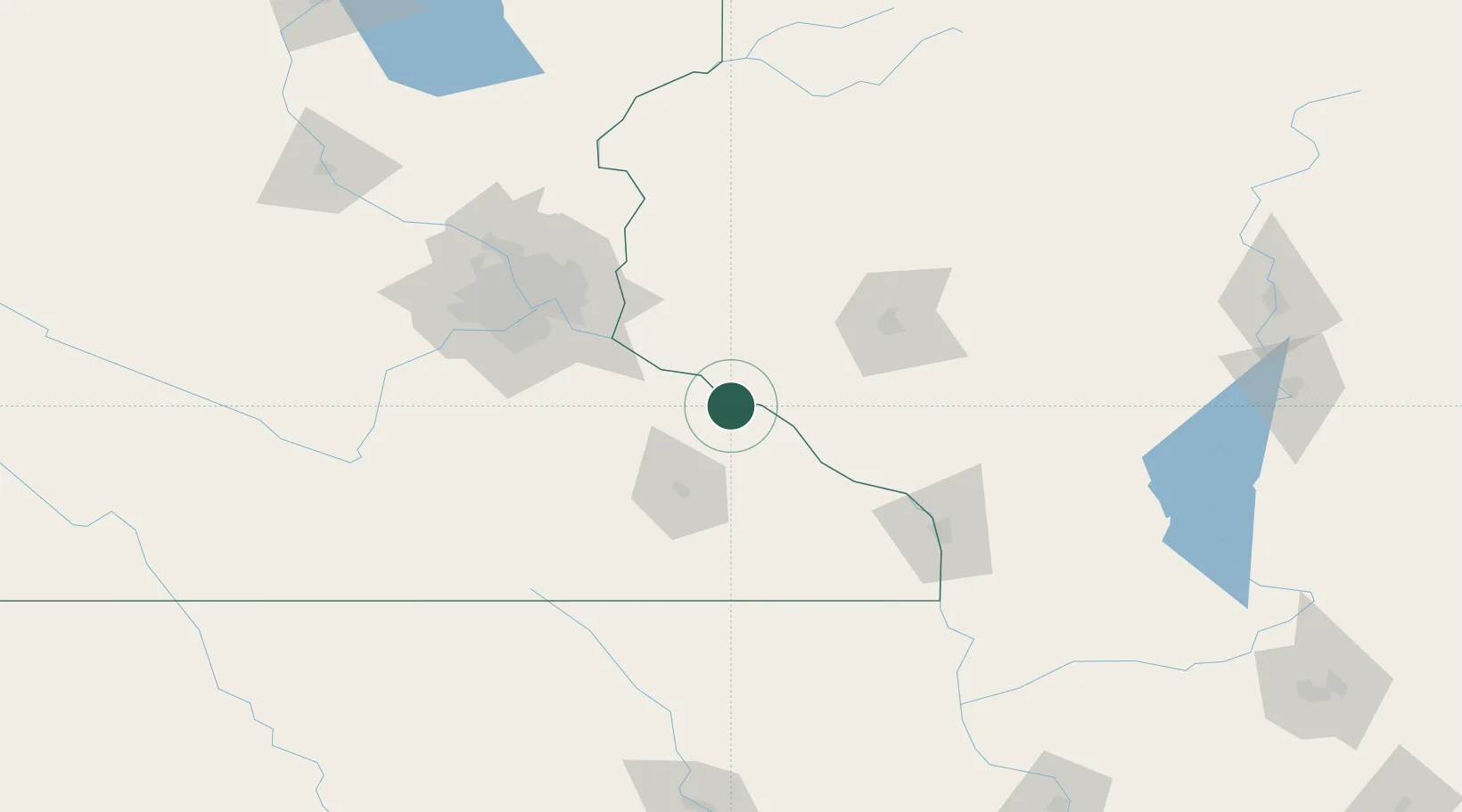
Lake City
44.4333°, -92.2500°
5,027
Population
2
Transport functions
Transport Functions
Rail
Road
Hub Profile
Place type
Populated place
Region
Minnesota
Population
5,027
Time zone
America/Chicago
Elevation
210 m
Location
Nearby Logistics Neighbours
DatabookThe Record of Consolidated Knowledge
United States beyond logistics?